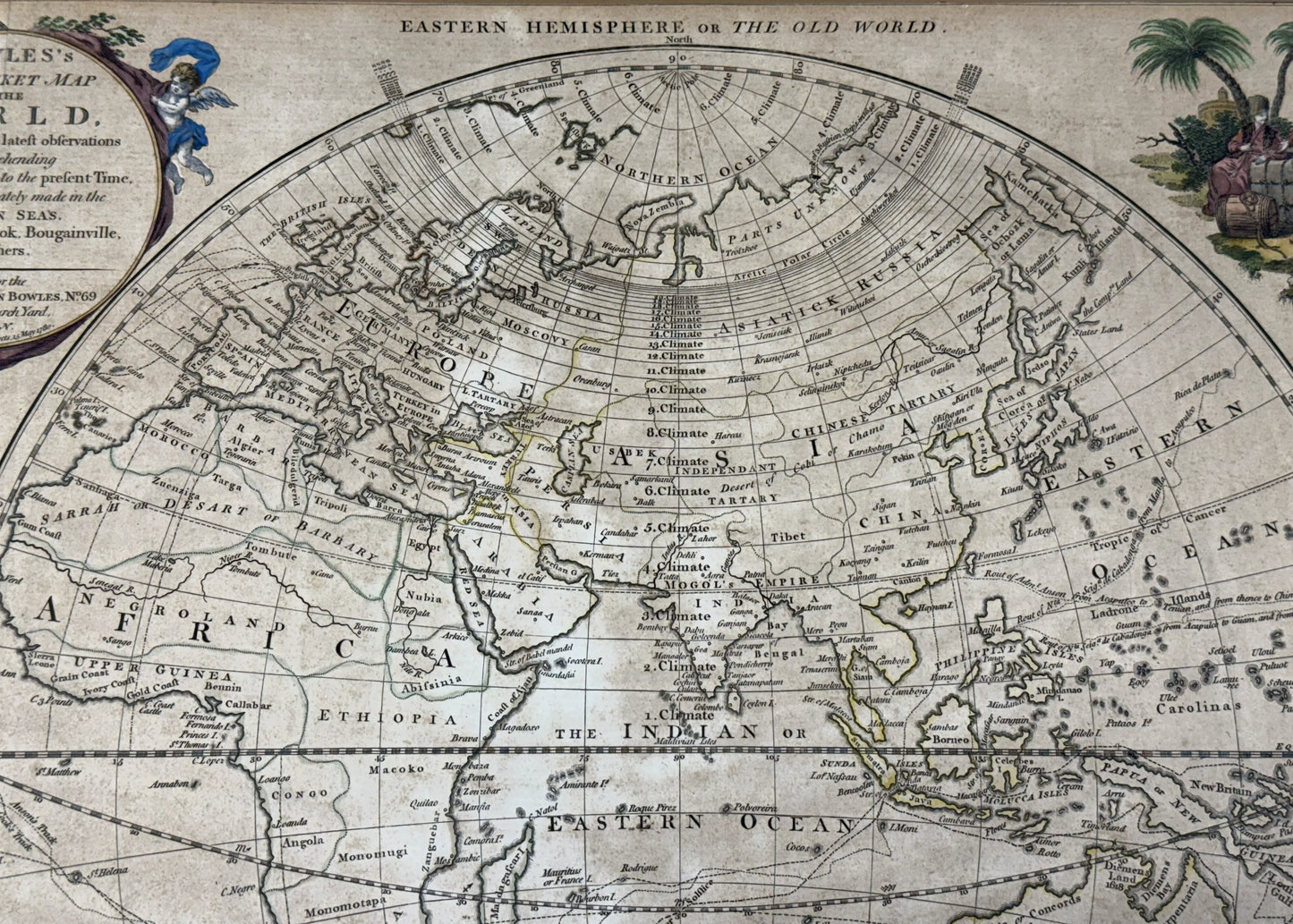
1780 "Bowles's New Map of the World" Double-page engraved map with hand-colored cartouches
1780 "Bowles's New Map of the World" Double-page engraved map with hand-colored cartouches
Updated on March 30: This has been sold.
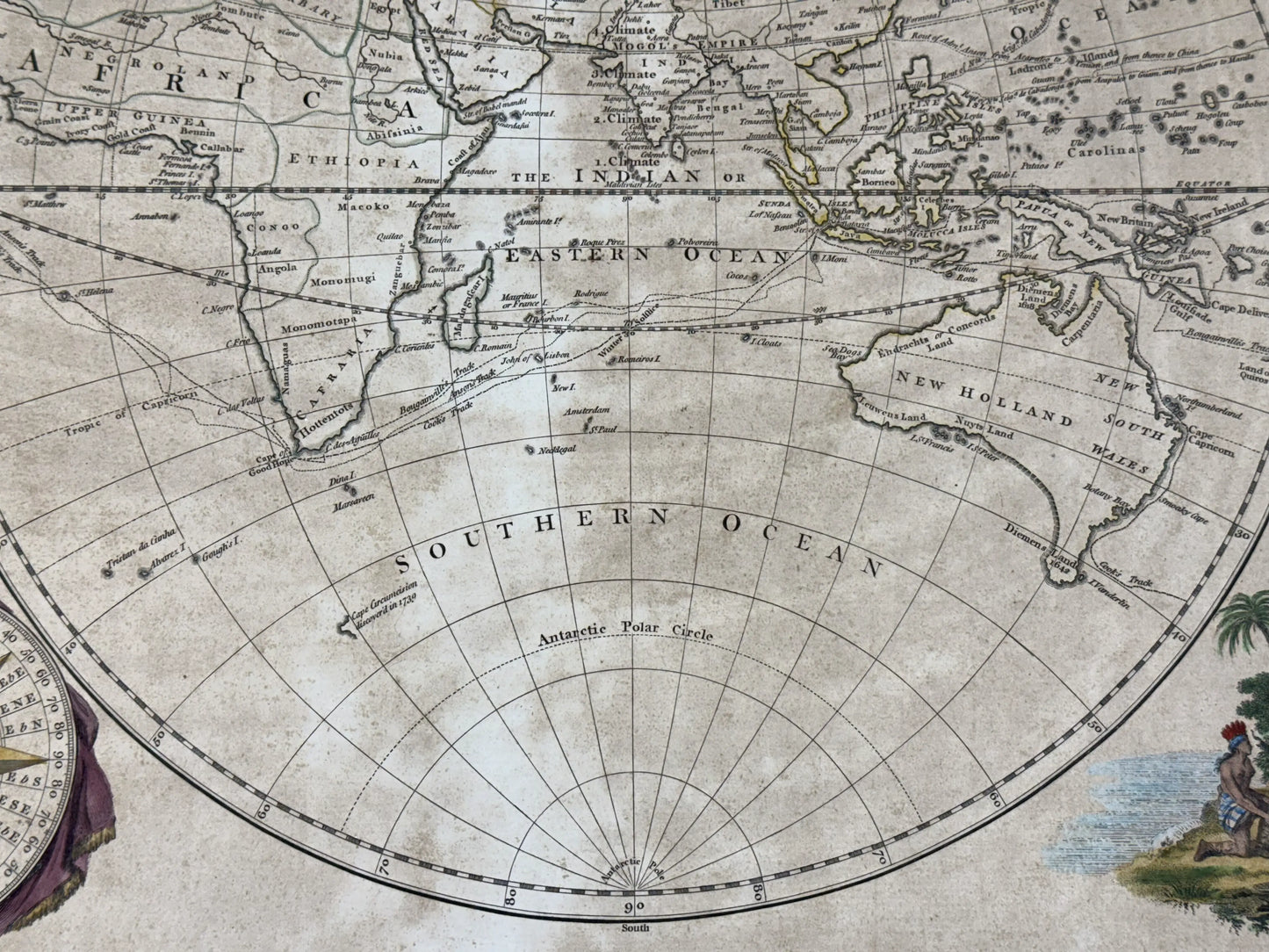
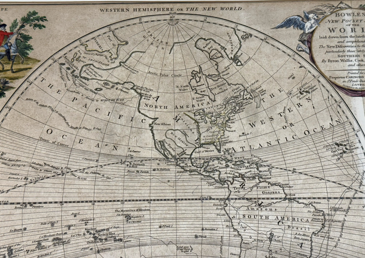
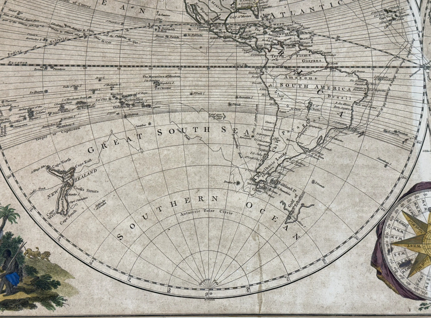
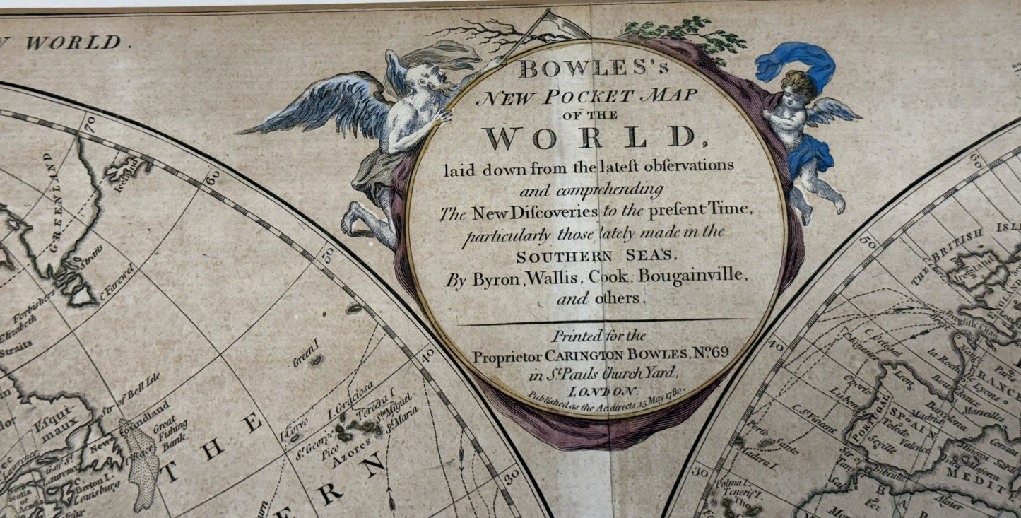
The full title refers to the fact that it was originally in a book: Bowles's new pocket map of the world : laid down from the latest observations and comprehending the new discoveries to the present time, particularly those lately made in the southern seas, by Byron, Wallis, Cook, Bougainville, and others.
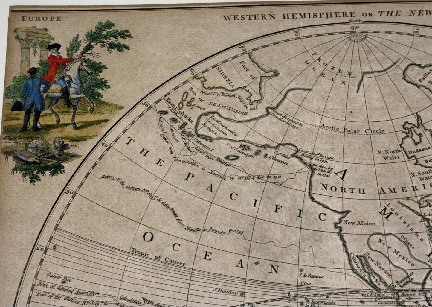
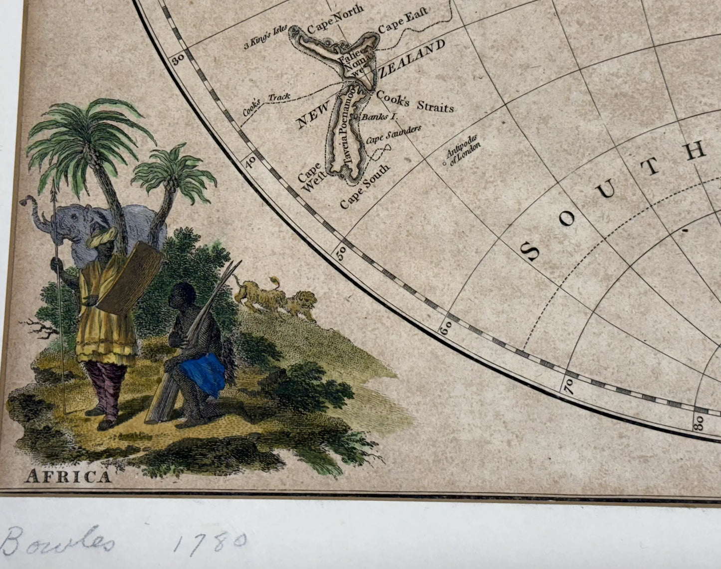
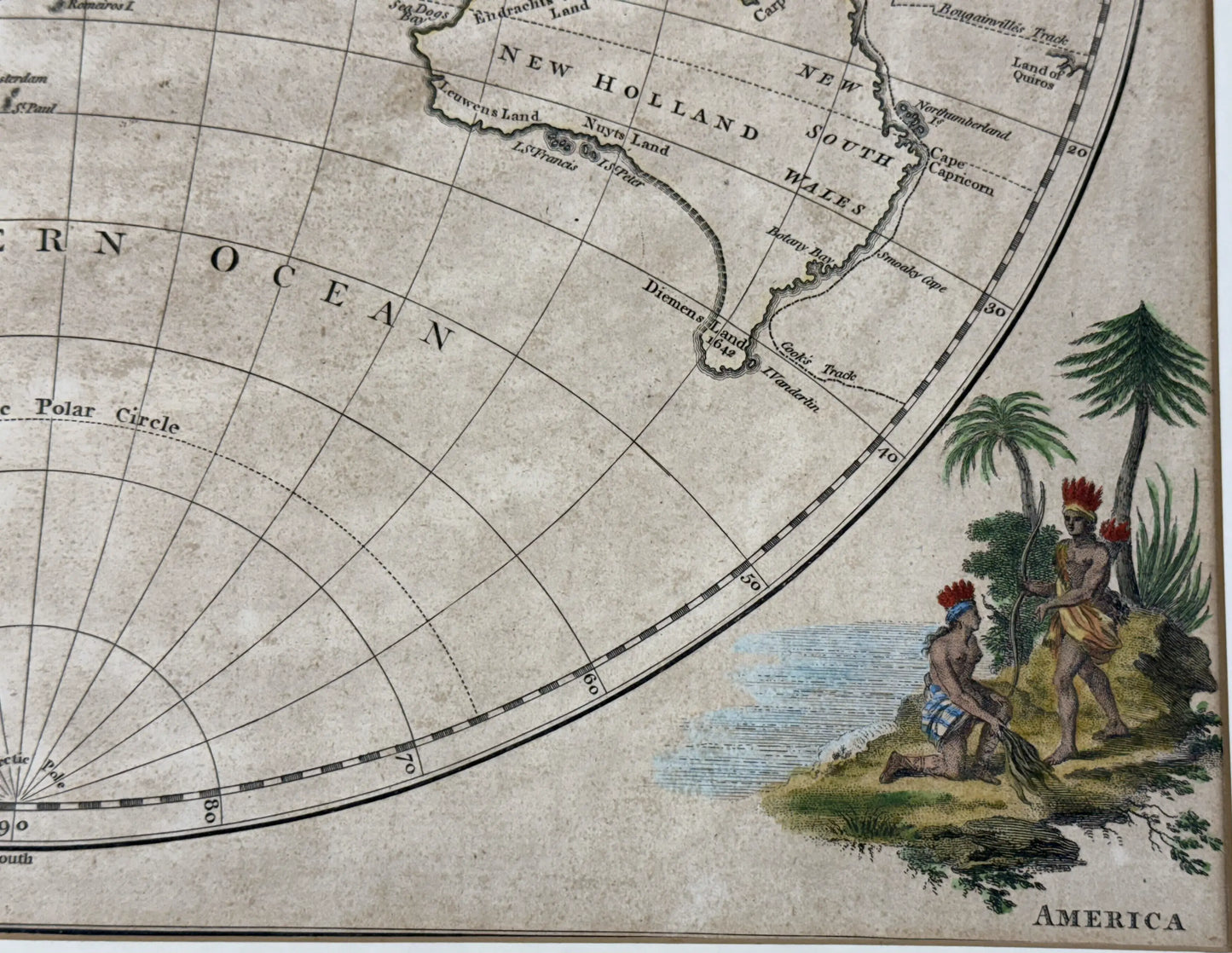
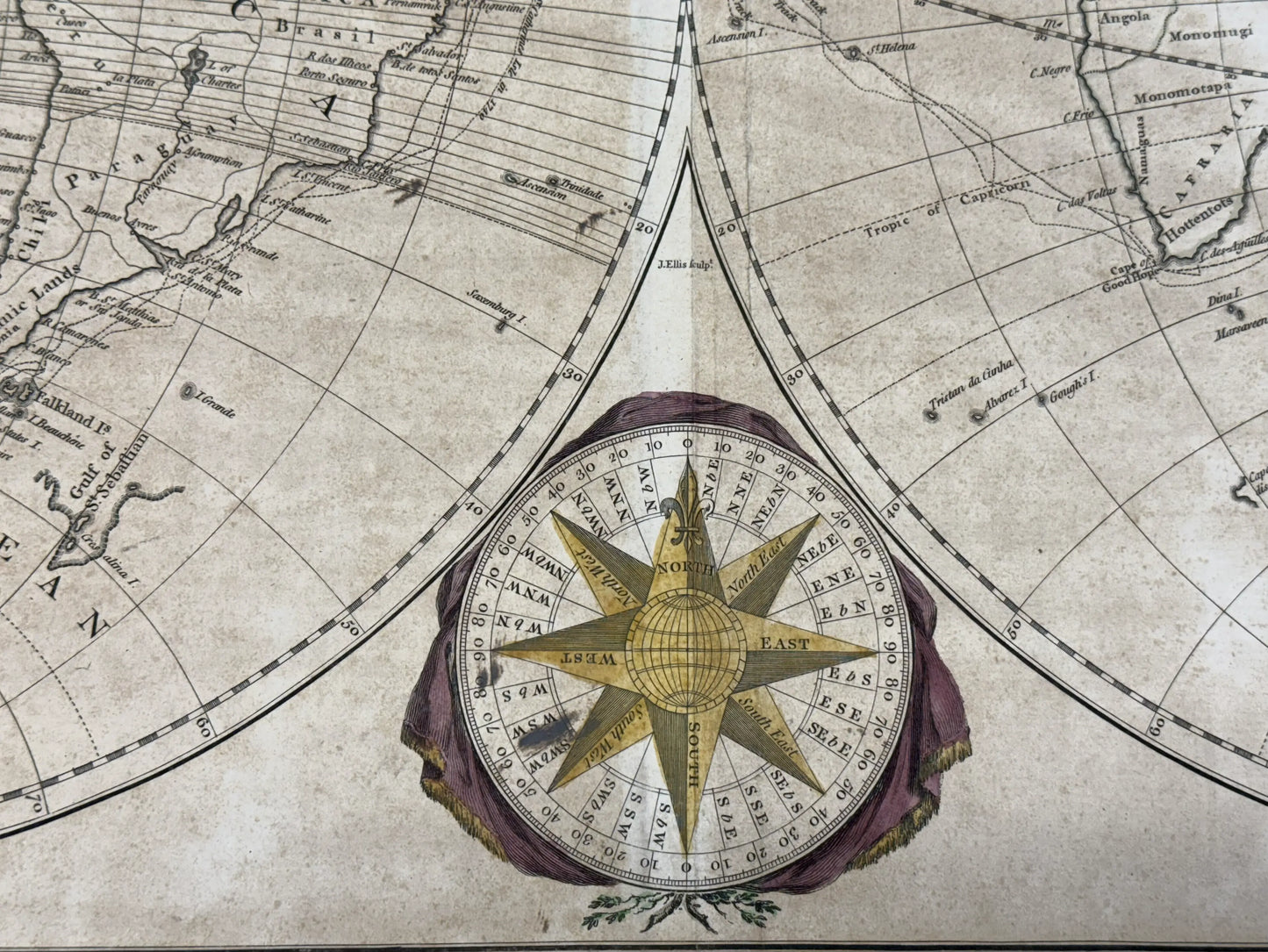
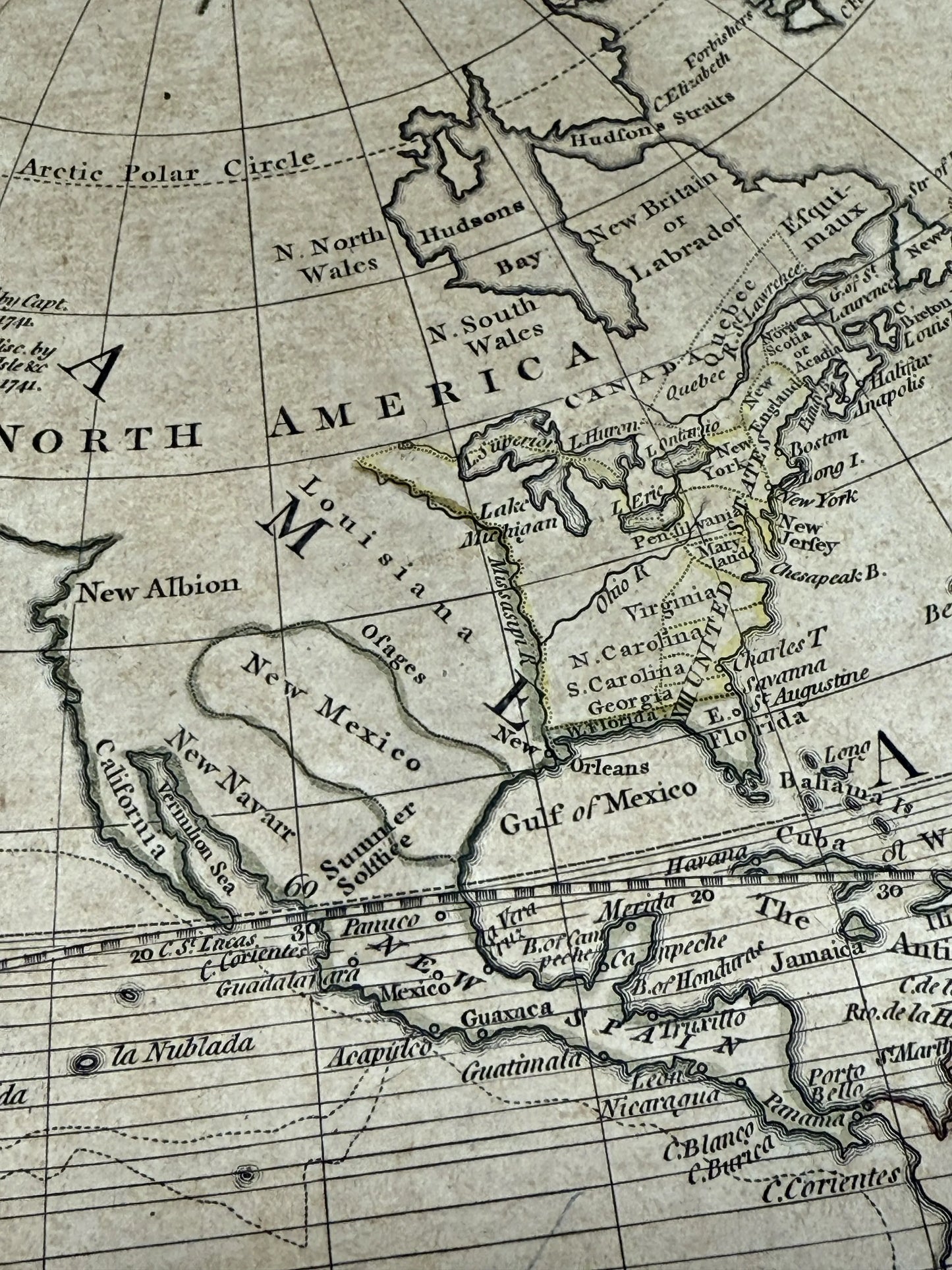
This framed 1780 map of the world has hand-colored cartouches representing the four hemispheres, the compass rose, and the decoration surrounding the map title and publisher. This was created while the Revolutionary War was going on, and I thought that the text, “XIII United States,” was especially interesting. Is is beautifully framed, and while this isn’t the case with all maps, this would look at home in a living room as well as an office or study.
— Lee Wright | Founder
Double-page engraved map, with six hand-colored cartouches, laid down on board. Printed for the proprietor Carington Bowles, London, May 15, 1780.
This map is taken from Bowles's Universal Atlas, first published around 1780.
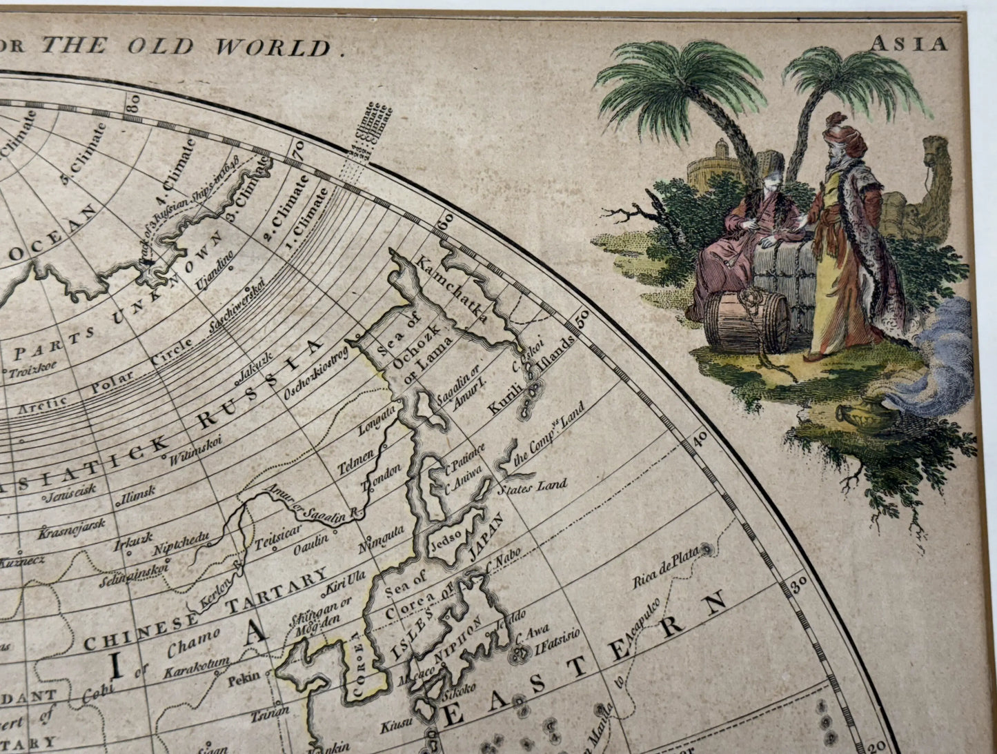
The double-page map shows the Western hemisphere, or, the New World, and Eastern hemisphere, or, the Old World. "Frozen Ocean" atop North America. Colored continents. Indigenous peoples of America, Africa, Europe, and Asia are illustrated.
Includes an ornate compass rose and an elaborate title cartouche as well as hand-colored cartouches in each corner representing each of the four hemispheres.
Shows lines indicating the voyages of some important explorers of the second half of the 18th century, including Cook's first voyage.
An extensive description of this map is at Geographicus Rare Antique Maps.
Size of engraving: 15.25" x 28.25"
Size of frame: 24" x 36.5"
Shipping: $35. Please allow two weeks for shipping.
About the Cartographers
The Bowles family, active in London from around 1714 to 1832, were prominent publishers and sellers of maps. Beginning with Thomas Bowles (active 1714–1763), the family business produced an extensive collection of atlases, pocket maps, and wall maps. Thomas Bowles was a print engraver in the late 17th century and established the firm's reputation by creating its first maps at St. Paul's Churchyard. His brother, John Bowles, known as "Old John Bowles" or "Black Horse Bowles," operated a publishing business at No. 13 Cornhill and was one of the first to distribute William Hogarth's works.
John's son, Carrington Bowles, joined the trade and eventually took over the Cornhill shop, merging it with his uncle's St. Paul's location. Following Carrington's death in 1793, his son, Henry Carrington Bowles (1763–1830), inherited the business and partnered with Samuel Carver (1756–1841), a former apprentice of his father. Together, they renamed the firm "Bowles and Carver," under which it continued to produce maps and atlases until 1832. After Henry's passing in 1830, Samuel Carver, despite his advanced age and declining health, managed the business for two more years before its closure.
Source: Geographicus.com
Made by America
Made by America
Almost all of the new products we offer are designed by us and made in America and most of our Rare Finds were made in America.
Our original designs are based on our nation’s history and our love of American history. Read more about other things we've created, including The History List, History Camp, and The Pursuit of History, in addition to The History List Store.
Every product that is made in America states that in the product description and includes the "Made in U.S.A." graphic.

