1887 Map of New England with Adjacent Portions of New York and Canada
$495.00
Couldn't load pickup availability
This original 1887 map is in excellent condition and very nicely framed.
It includes all of New England, along with adjacent parts of New York and Canada. Published by Sampson, Murdock, & Co., Boston, this map was created for the New England Business Directory and Gazetteer.
Includes:
- State boundaries color-coded
- Detailed transportation routes, including railroads
- Urban areas marked, emphasizing the region's infrastructure in the late 19th century
- Inset map of the Boston area in the lower right hand corner
Size of print: 28" x 21 1/4"
This map is professionally framed in a classic wooden frame with traditional glass.
Shipping: $35. Please allow two weeks for shipping.
Made by America
Made by America
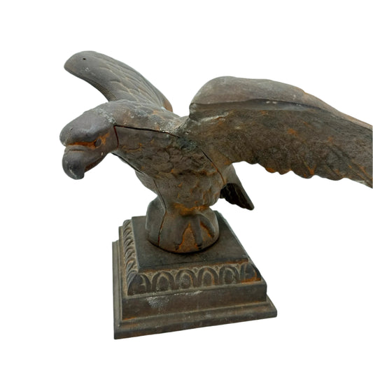
Nearly everything we offer is designed by us and made in America.
Our original designs are based on our nation’s history and our love of American history. Read more about other things we've created, including The History List, History Camp, and The Pursuit of History, in addition to The History List Store.
All original designs are copyrighted by The History List.
Every product that is made in America states that in the product description and includes the "Made in U.S.A." graphic. There are a relatively small number of items where we’ve not been able to find a manufacturing partner here in the States, but we continue to look.
Our nation’s history—Our original designs


New in Rare Finds this week
-
The New York Times coverage of WWII — September 20 and 21, 1939 — Sold as a set
Regular price From $ 195.00Regular priceUnit price / per