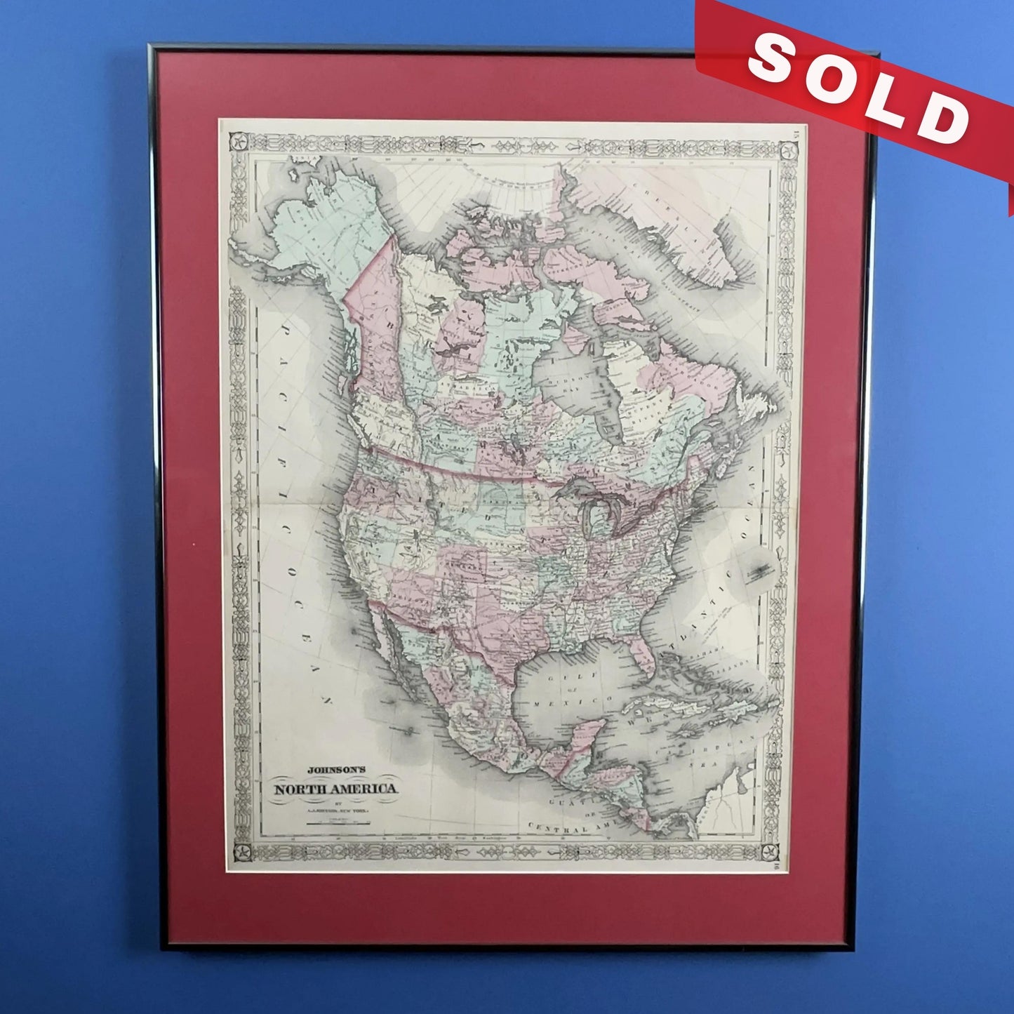
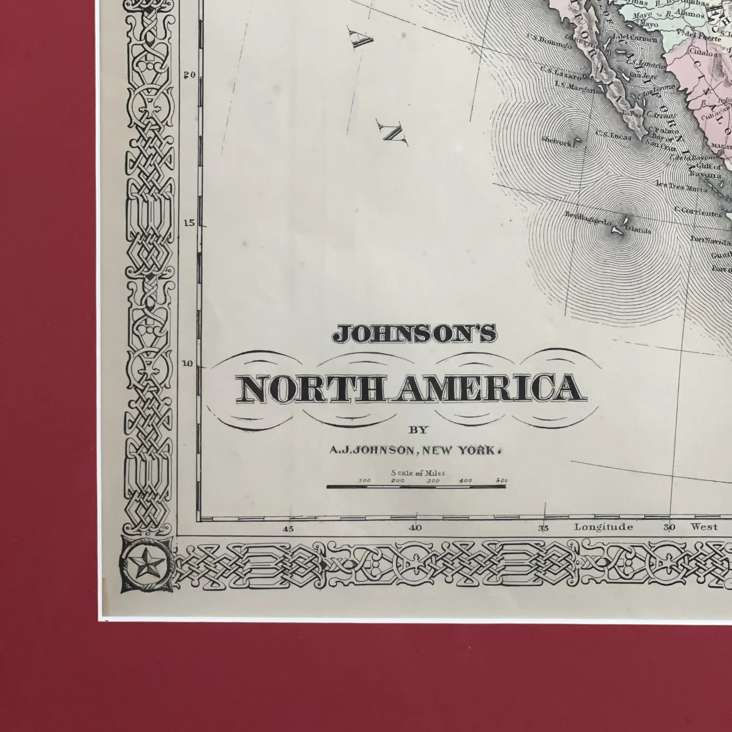
1868 "Johnson's North America" — Hand-colored — Framed
1868 "Johnson's North America" — Hand-colored — Framed
Updated on August 29 at 9:25 am: This has been sold.
Framed, matted hand-colored map of North America was published in 1868. It includes roads, railroads, and explorers’ routes—even the Pony Express. (The Pony Express was in operation less than a year—1860-1861—but played a role in the history of the west. Also included: Forts, trading posts, missions, and Native American tribes.
Size of frame: 22" x 27.5"
Shipping: $50 due to the size.
About the map maker
Alvin Jewett Johnson (1827-1884) was a significant American map publisher. Born in Wallingford, Vermont, he worked as a school teacher before moving to Richmond, Virginia, and later New York City. Initially a book canvasser for J.H. Colton, Johnson’s name first appeared on maps in the mid-1850s. He and his partner, Ross Browning, likely supported Colton’s struggling firm in exchange for the rights to use Colton’s map plates.
In 1860, Johnson’s firm published Johnson’s New Illustrated (Steel Plate) Family Atlas, marking the beginning of his influence in cartography. The firm abandoned its Richmond location during the Civil War, and in 1861, Browning’s share was bought by Benjamin P. Ward. By 1866, Johnson became the sole publisher, introducing new map plates and unique border styles that evolved over time.
Johnson continued to publish maps and atlases until 1887, eventually bringing his son into the business. The company, under the imprints “A.J. Johnson and Son” and later “A.J. Johnson and Co.,” continued until it closed in 1887.
Made by America
Made by America
Almost all of the new products we offer are designed by us and made in America and most of our Rare Finds were made in America.
Our original designs are based on our nation’s history and our love of American history. Read more about other things we've created, including The History List, History Camp, and The Pursuit of History, in addition to The History List Store.
Every product that is made in America states that in the product description and includes the "Made in U.S.A." graphic.
