Updated July 26, 2025: This has been sold.
. . .
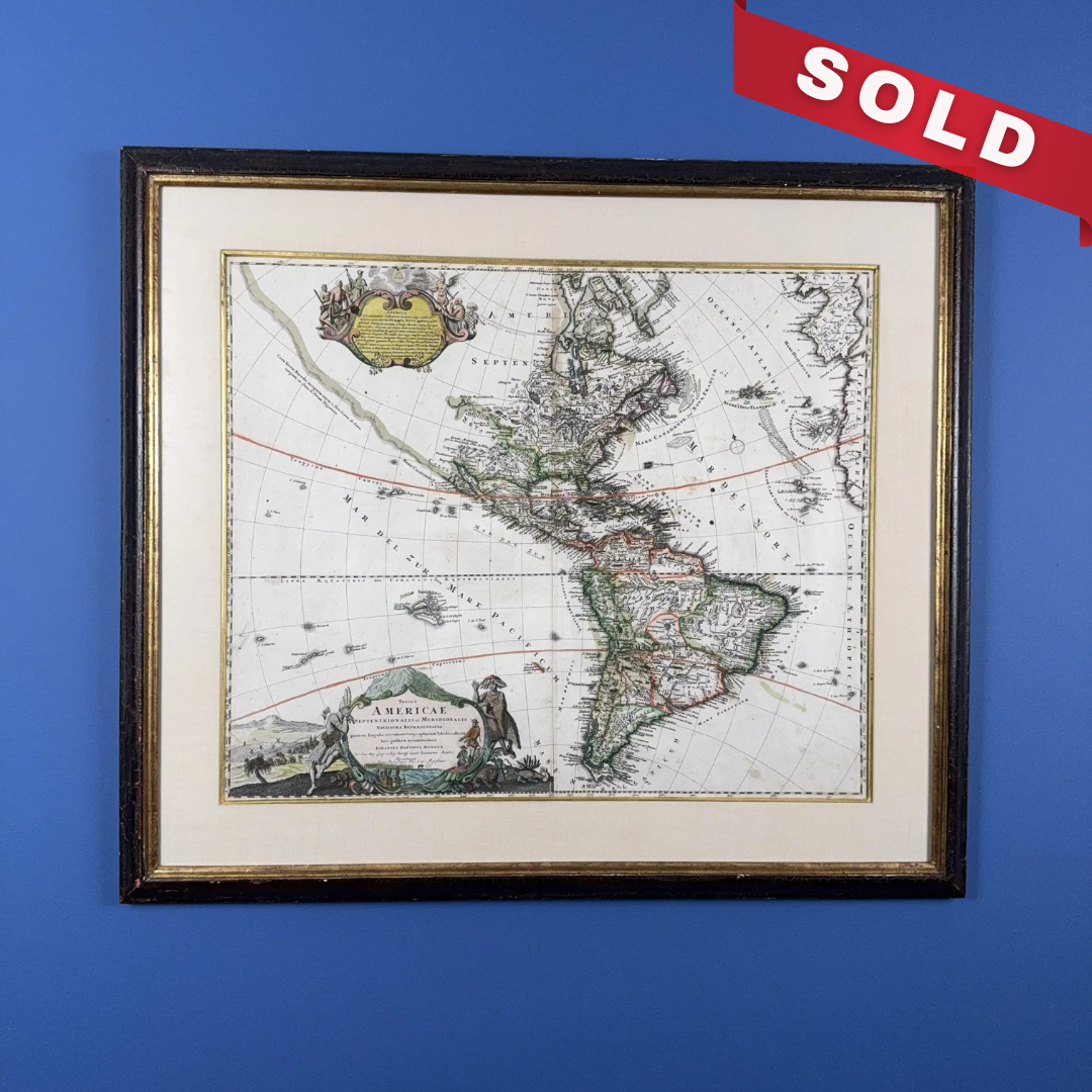
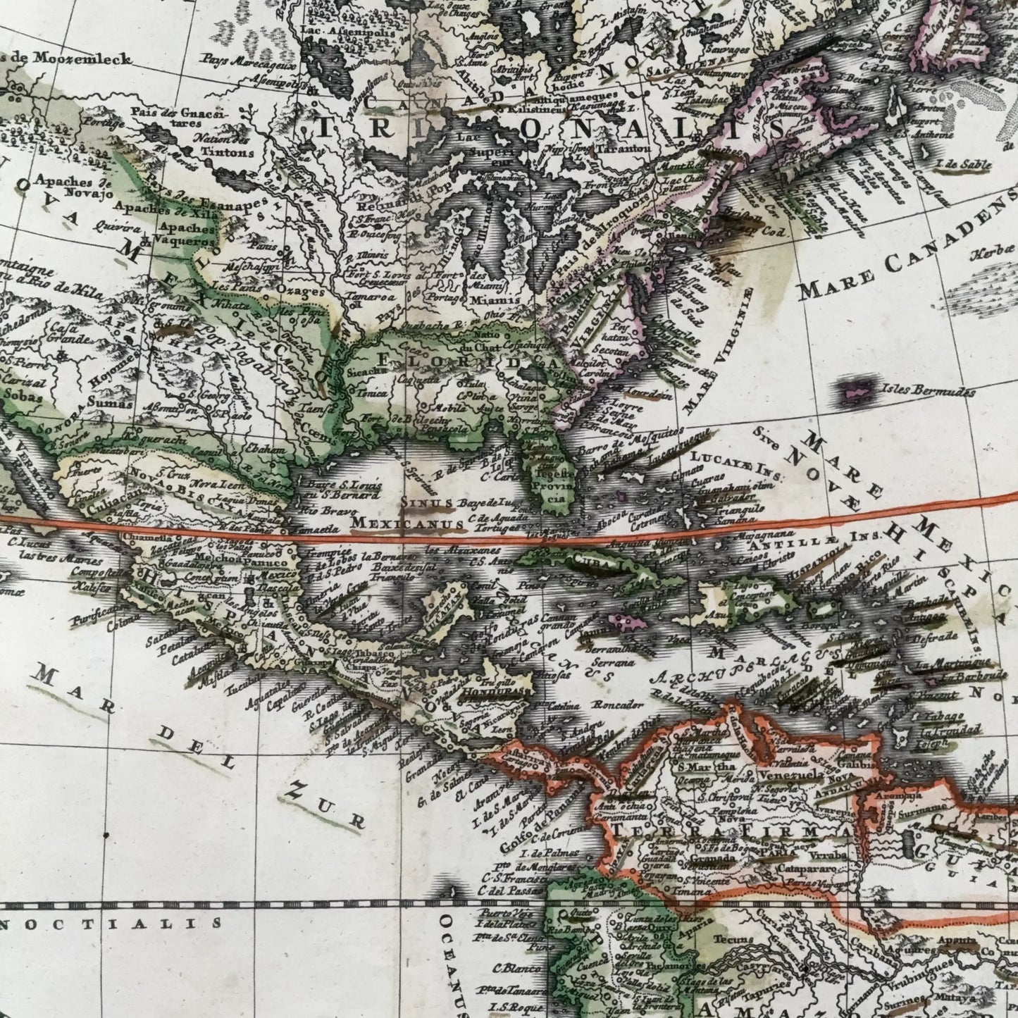
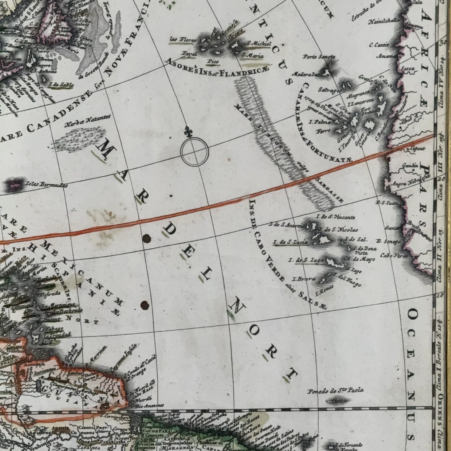
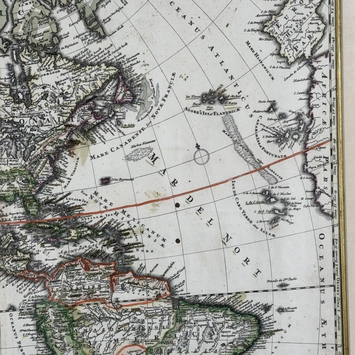
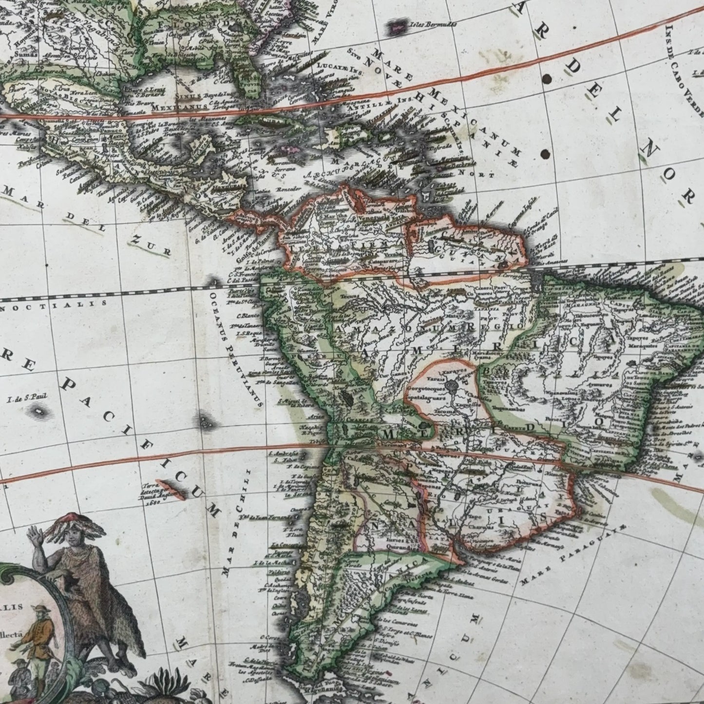
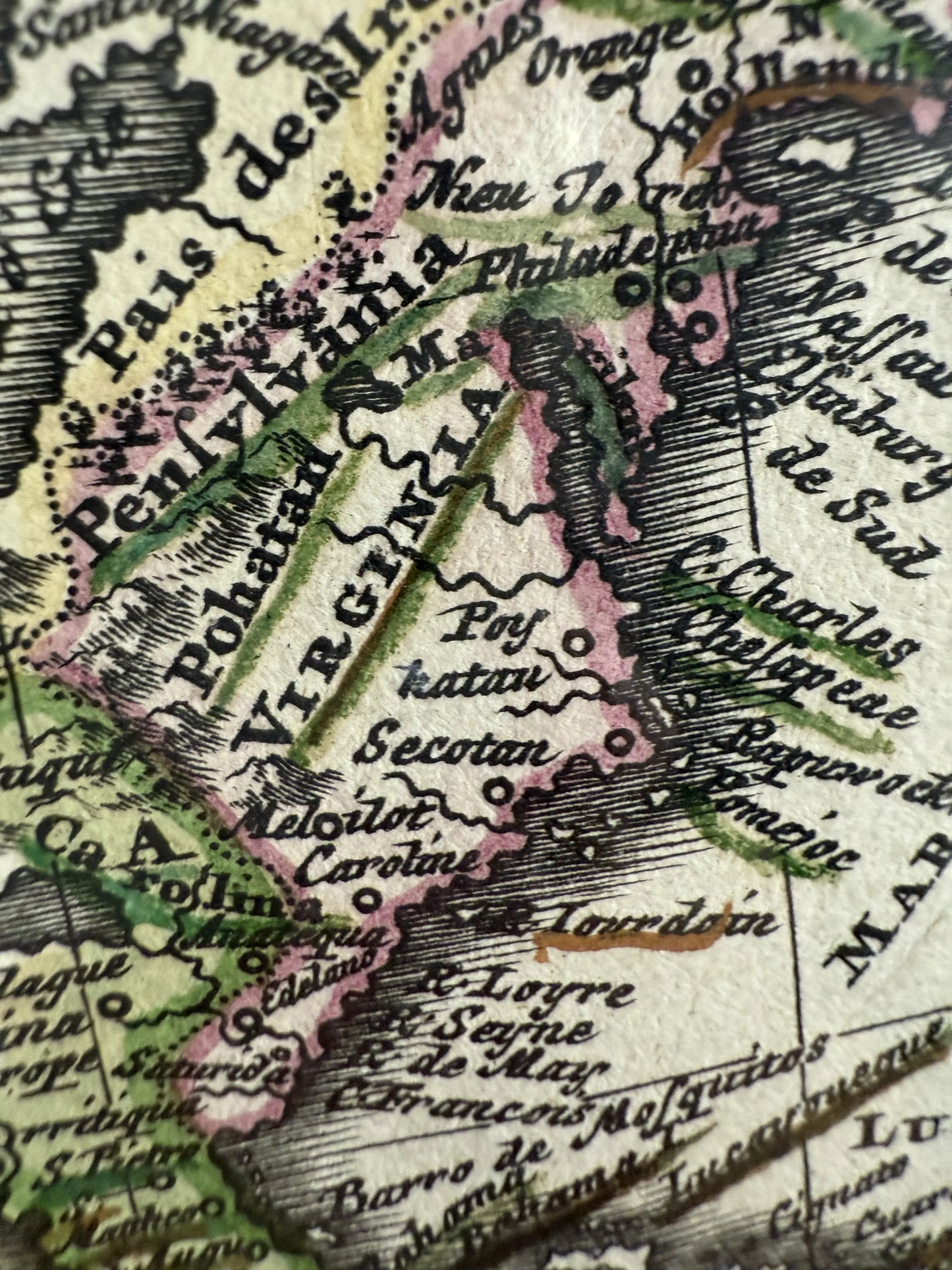
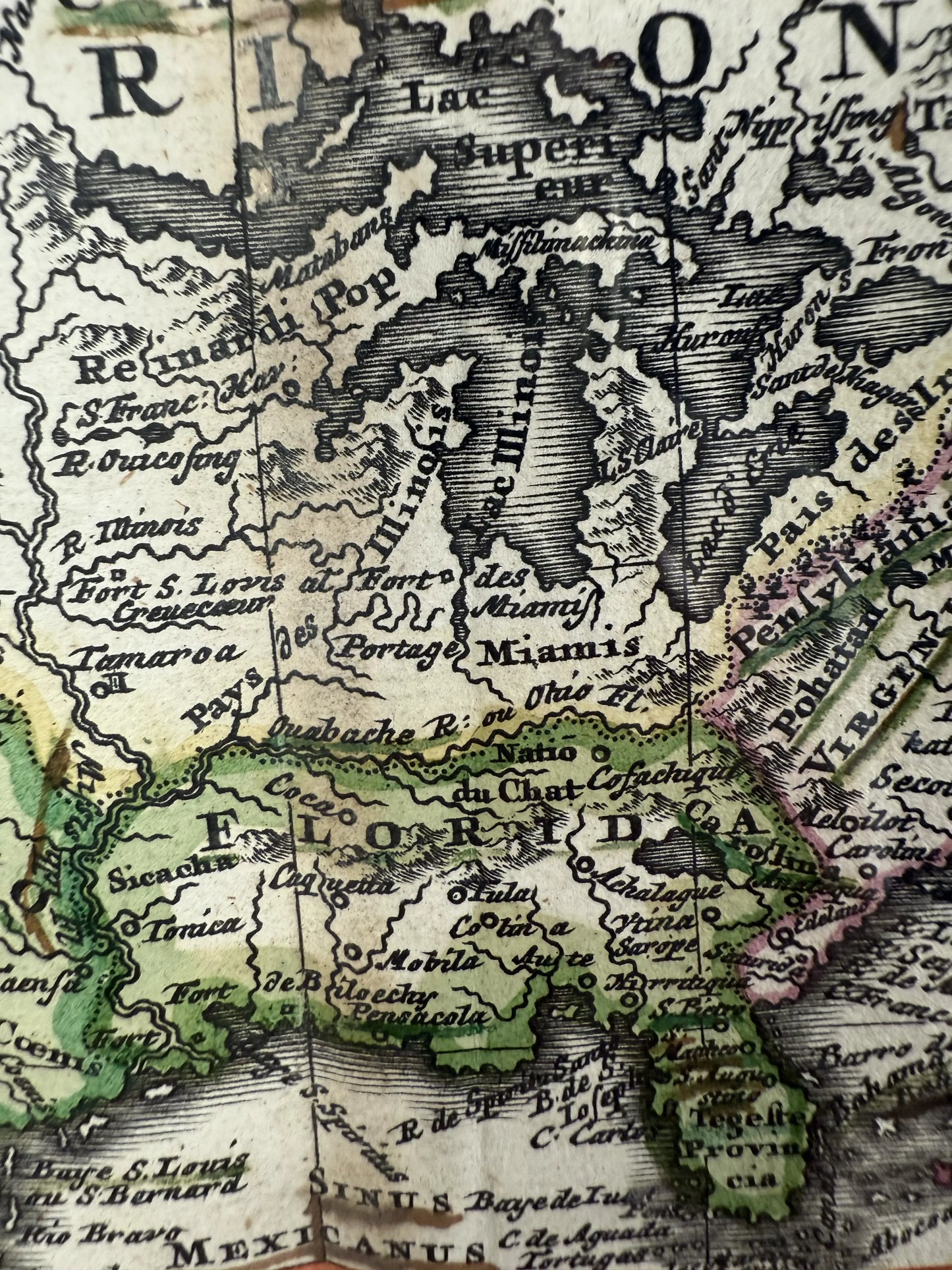
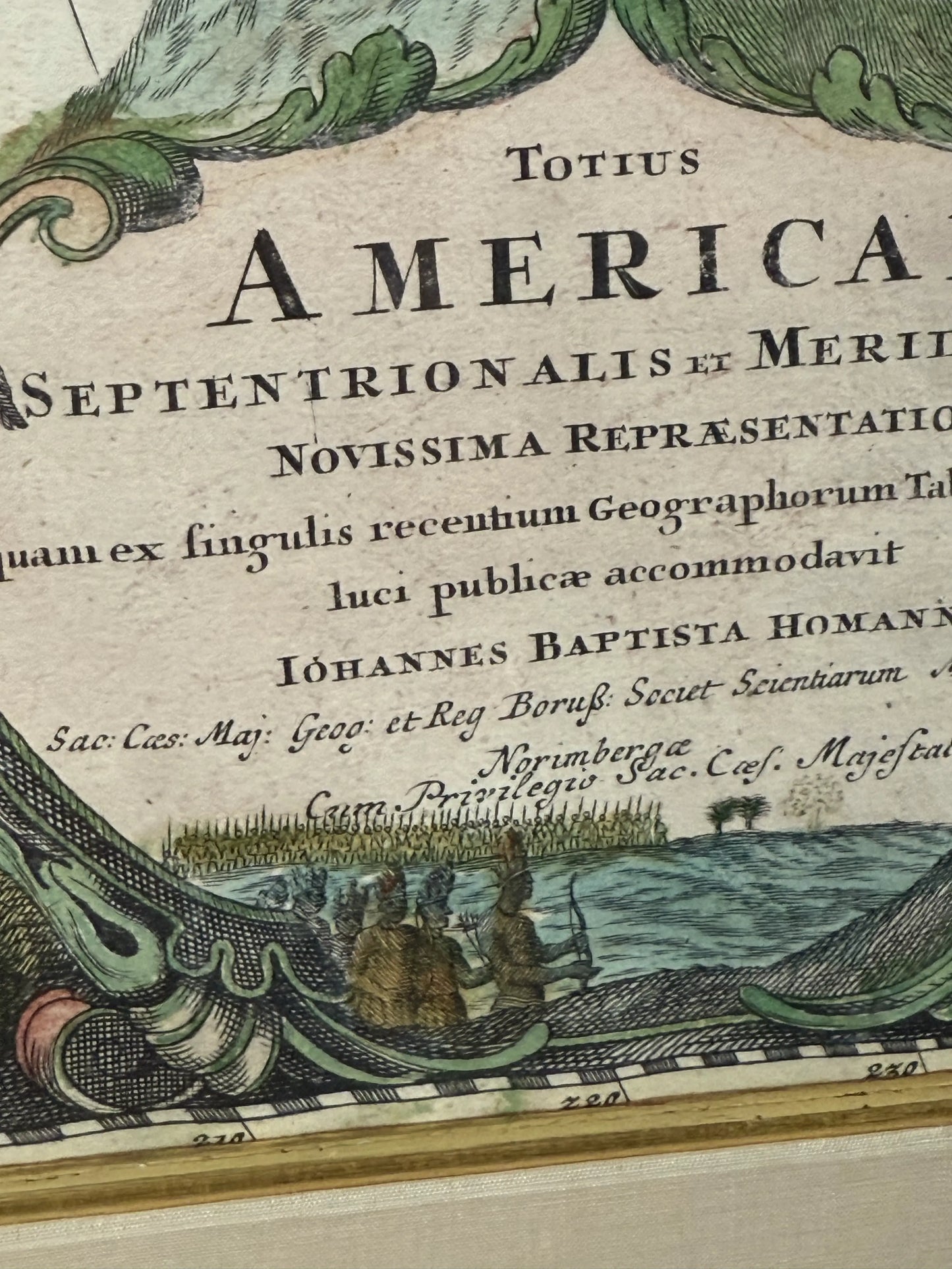
Title: "Totius Americae Septentrionalis et Meridionalis Novissima" (Map of the Americas)
Published by Johann Baptist Homann (German, circa 1663 - 1724) in Nuremberg, circa 1710.
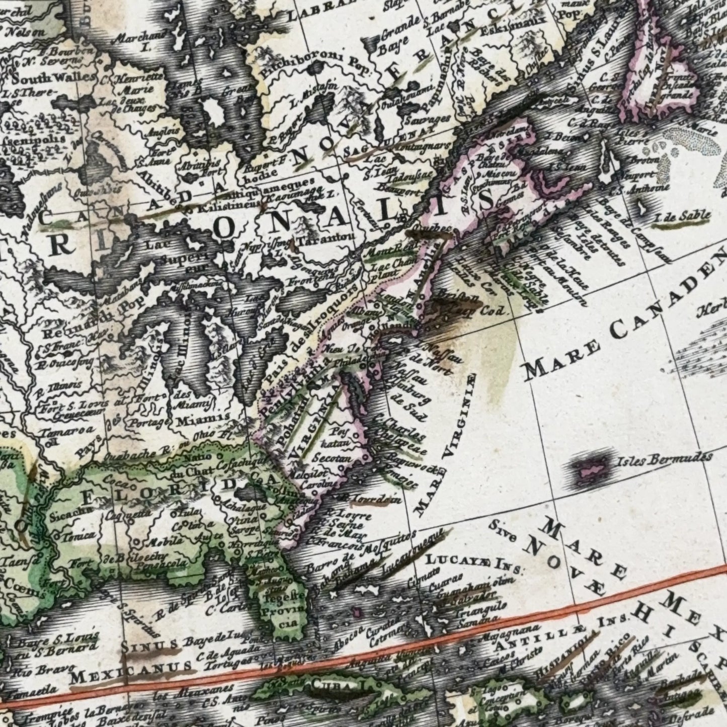
An engraving of a detailed map of the Americas, having Oceanus Atlanticus at upper right of piece, Mar Del Nort at right, Mar Del Zur Mare Pacificum at lower left, with a highly stylized region. Hand colored.
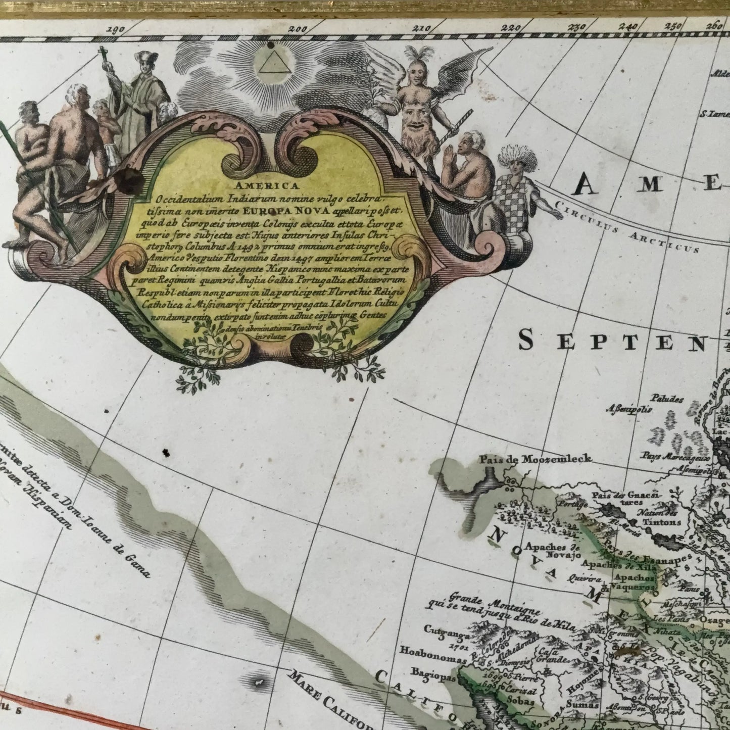
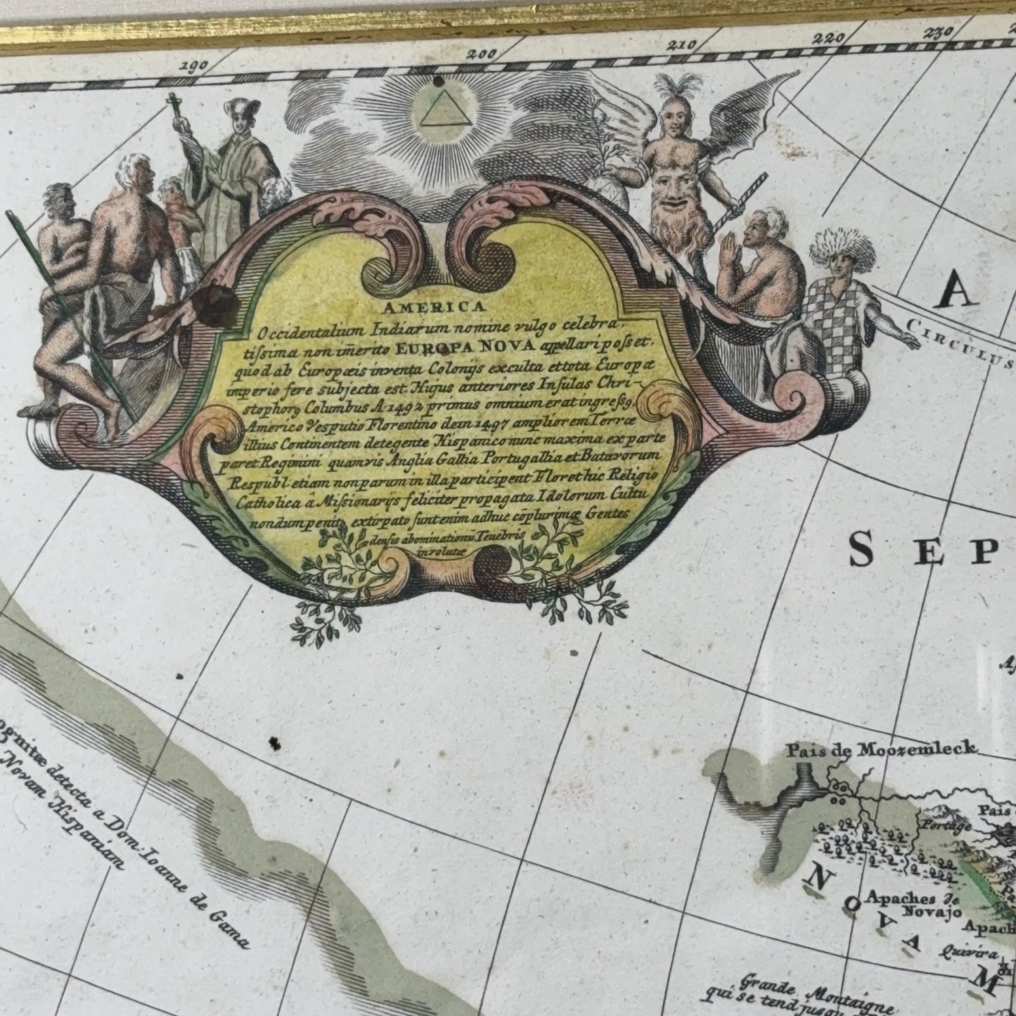
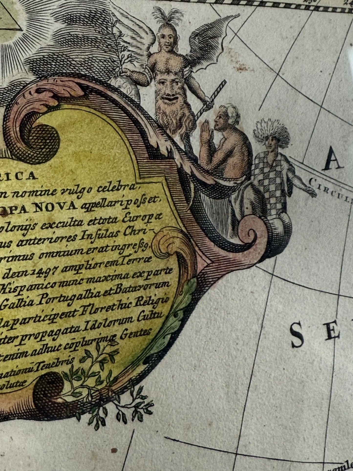
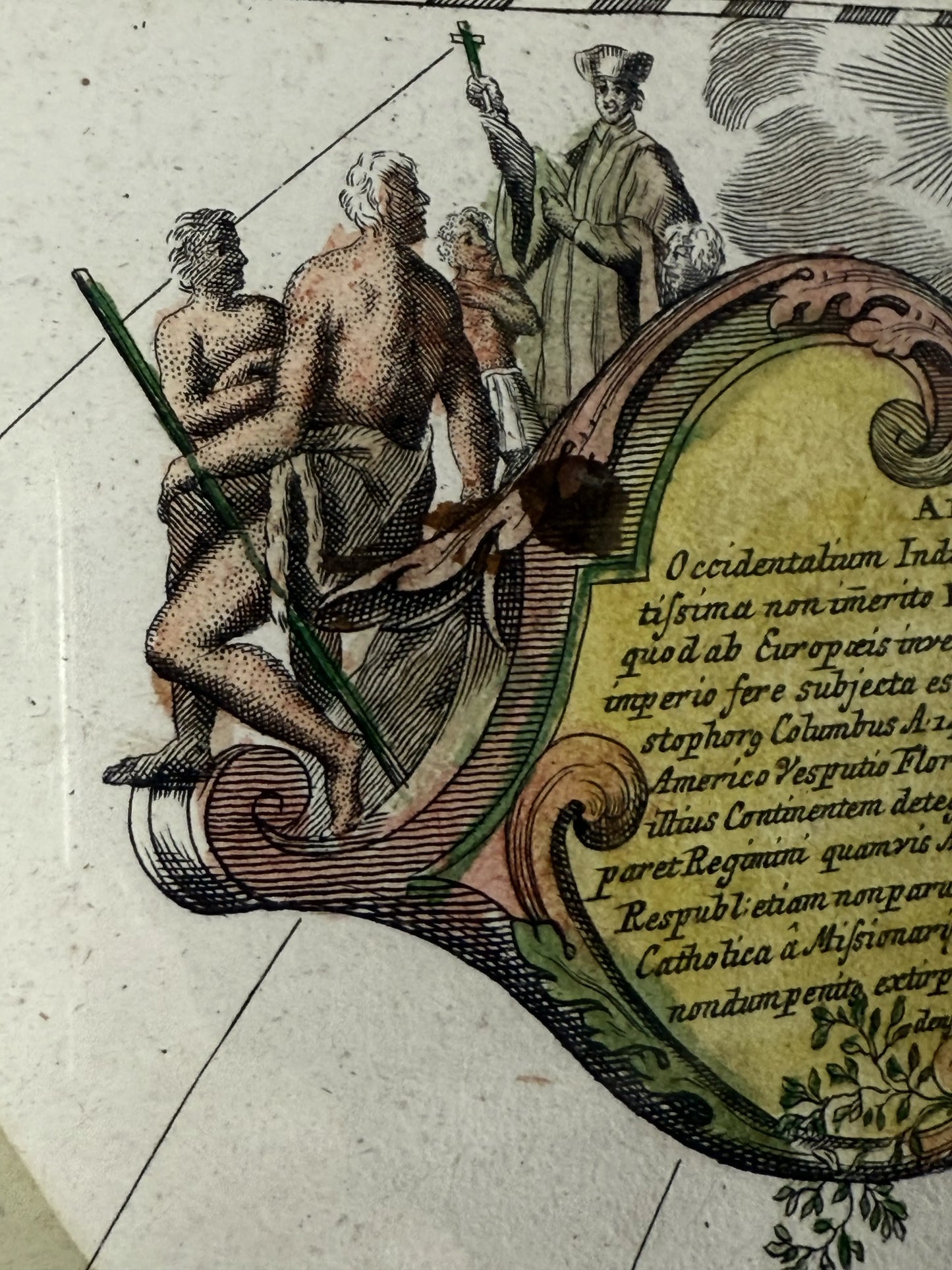
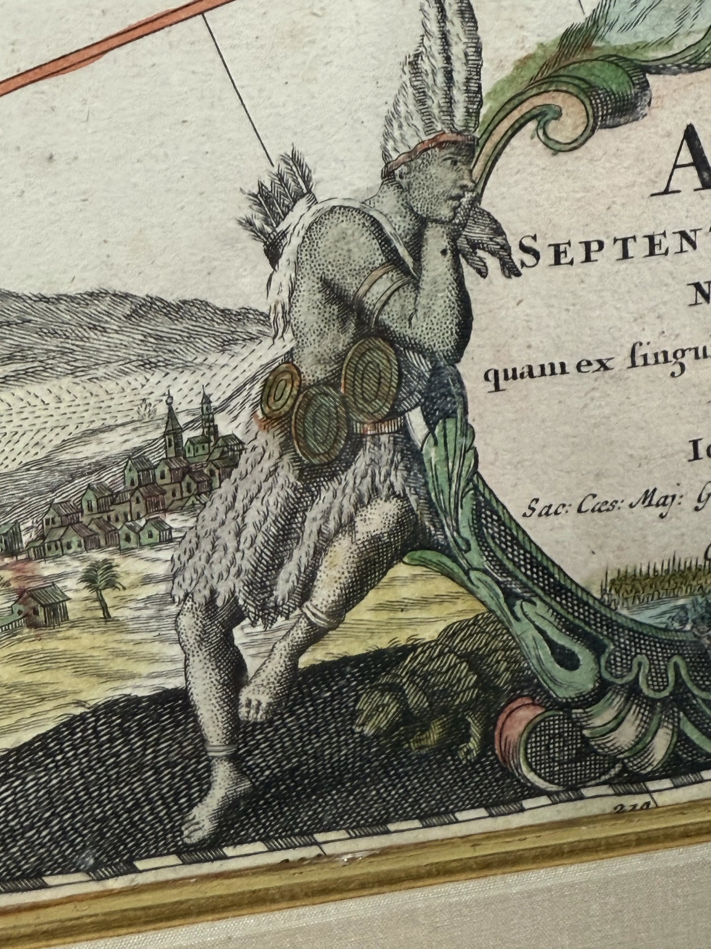
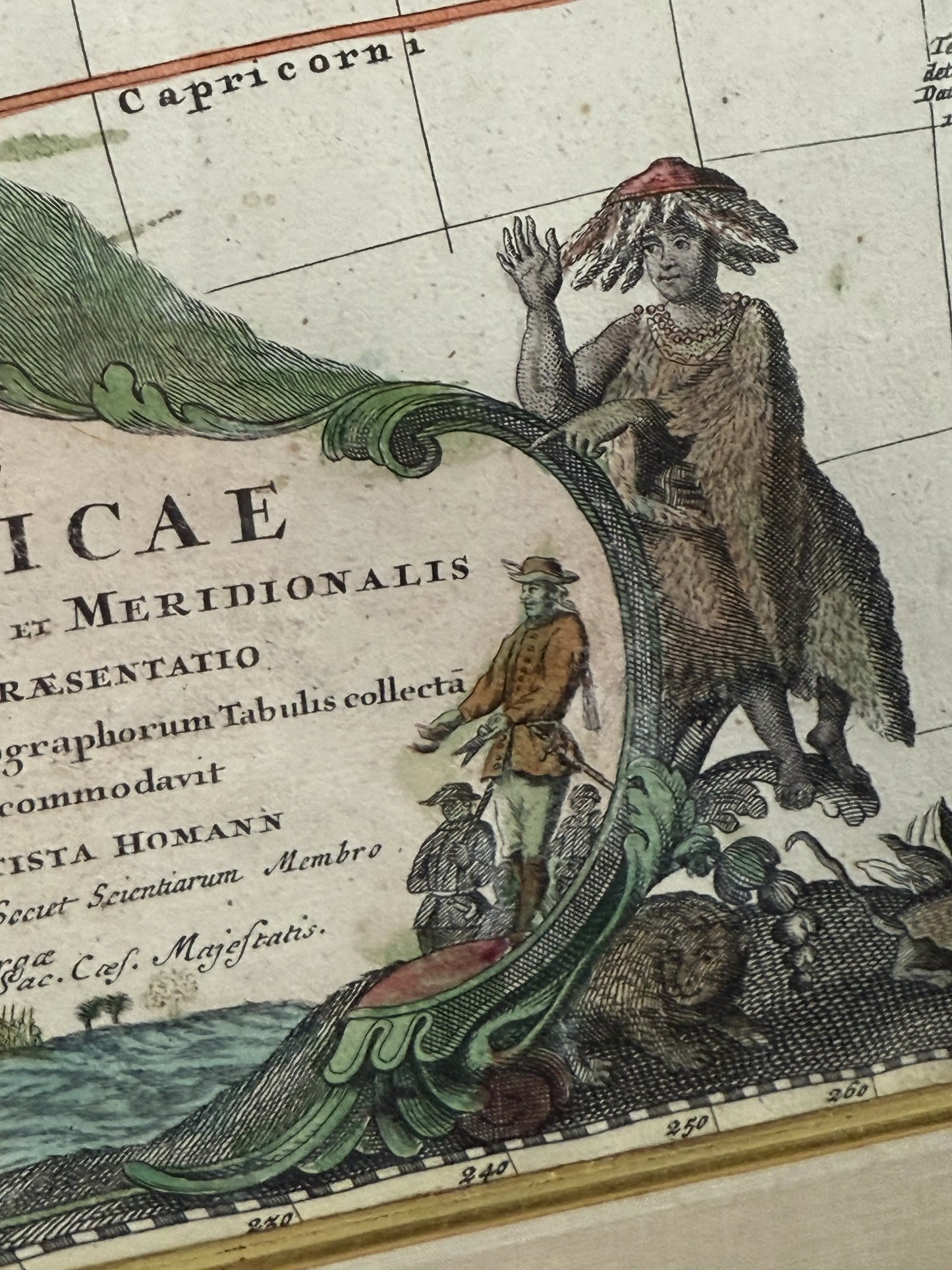
With a yellow ground, pink-toned scrolls, and various figural representations of Roman God derivation, with a triangular sun symbol situated above, having another detailed figural composition exhibiting the discovery of the Americas at the lower left of the piece, with a Native American figure and an Explorer flanking cartouche.
Framed under a 20th century gold and black-painted wood frame with linen-covered matte with gold fillet and plexiglass plate.
The print is in very good condition, with beautiful coloring.
If you would like us to touch up the frame or reframe this, please send me a note and I can give you an idea of the options, with costs and timing.
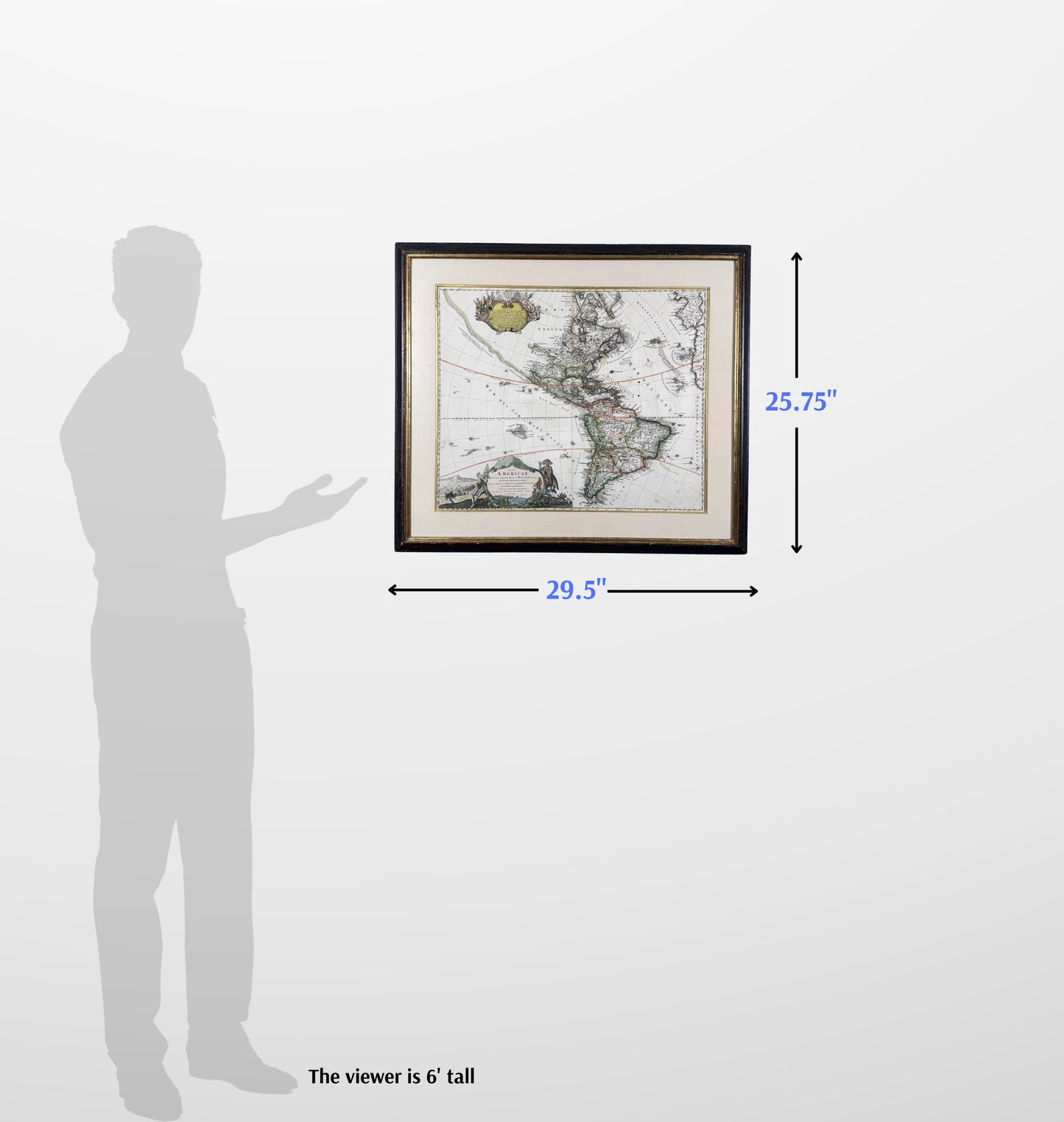
Size: 18.5" x 22.375"
Frame size: 25.75" x 29.5"
In cartouche at the top:
AMERICA
Occidentalium Indiarum nomine vulgo celebratissima, nunc Amerigae EUROPA NOVA appelatur, quod ab Europaeis inventa Coloniis excolita, vetuta Europea imperio fore subiecta est: Hisus anteriores in Insulas Christophorus Columbus A. 1492, primus omnino ad terras huc Americam usque perducit. Innumeris denique annis excolitum interea, postea Regimini numeris Angliae Galliae Portugalliae & Batavorum Reipub: etiam nunc in aliquibus partibus Floridae Regionis Catholicæ a Missionariis feliciter propagatur: Idolorum Cultu nondum abolitâ, exorata forsitan ut aliud depraveant Gentes Invisentes.
English translation, from AI:
AMERICA
Almost universally celebrated under the name of the West Indies, now commonly called New Europe(Europa Nova), since it was discovered by Europeans, colonized, and brought into submission under European dominion. Earlier, Christopher Columbus in the year 1492 first carried Europeans to these lands, all the way to America. It has since been cultivated by innumerable years, and later brought under the rule of England, France, Portugal, and the Dutch Republic. In parts of the Catholic region of Florida, it is still happily being spread by missionaries. Though idolatrous worship has not yet been abolished, it may perhaps influence other unseen people.
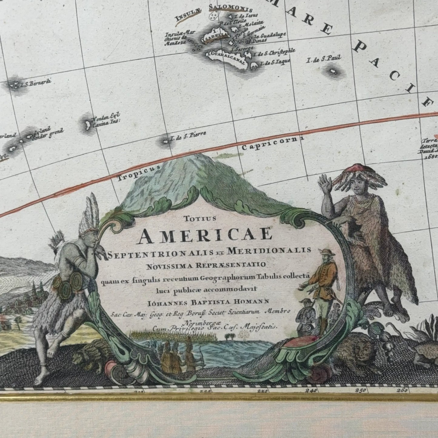
In cartouche at lower left:
Totius Americae Septentrion Alis et Meridionalis Novissima Repraesentatio quam ex fingulis recentium Geographorum Tabulis collectal luci publicae accommodavit Johannes Baptista Homann Sac: Caes: Maj: Geog: et Reg Boruss: Socet Scientartum Membro Norimberge Cum Privilegio Sac. Cacf. Majestatis.
English translation, from AI:
A Most Recent Representation of the Entire North and South America, compiled from each of the latest maps by modern geographers, adapted for public use by Johannes Baptista Homann, Geographer to the Holy Roman Emperor and member of the Royal Prussian Society of Sciences, Nuremberg — With the Privilege of the Holy Imperial Majesty.
Shipping: $60. Please allow two weeks for shipping.