Almost all of the new products we offer are designed by us and made in America and most of our Rare Finds were made in America.
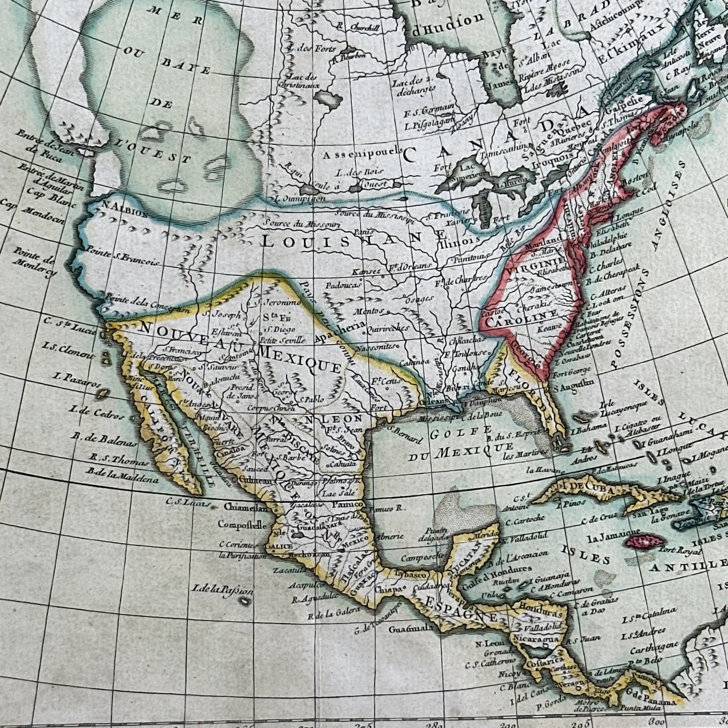
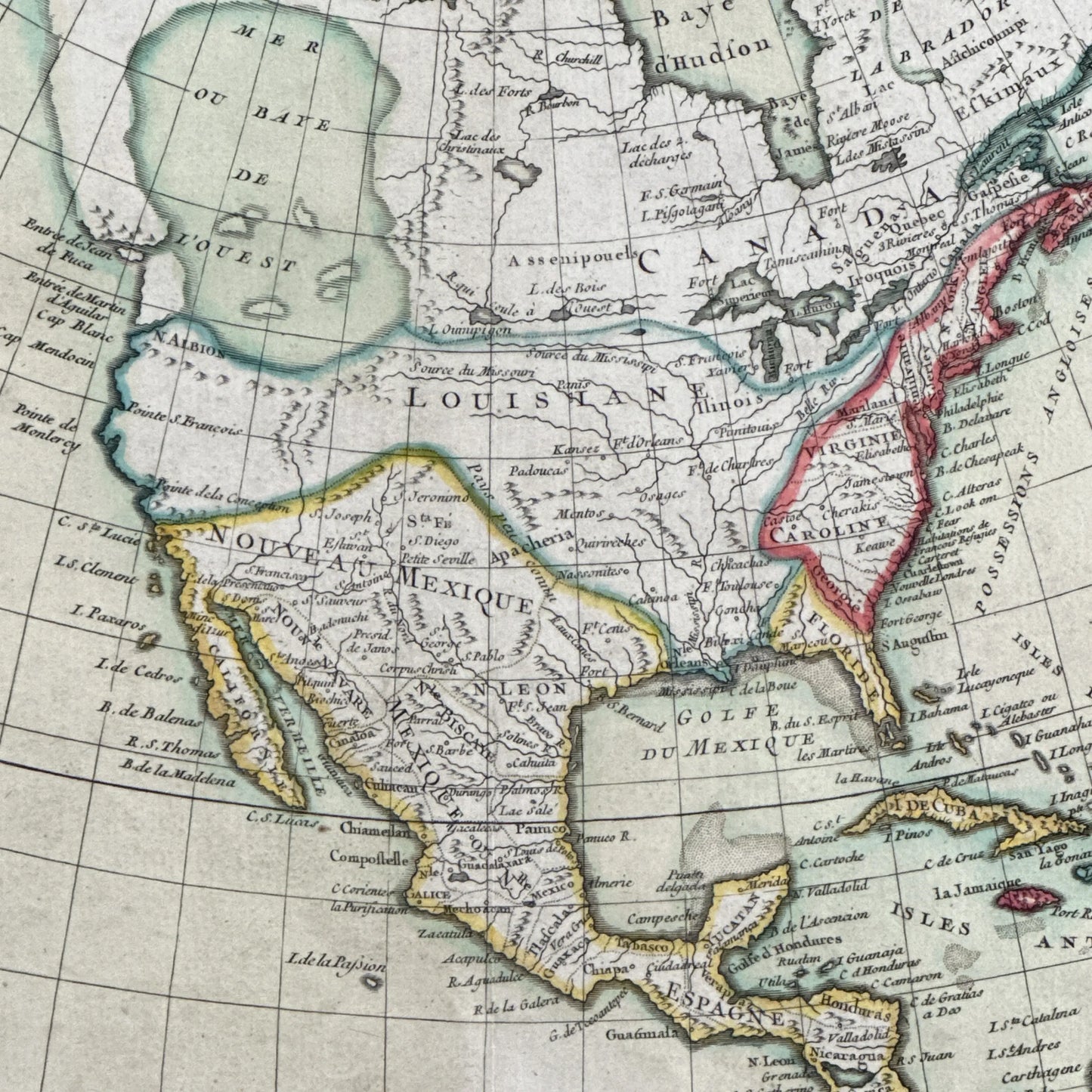
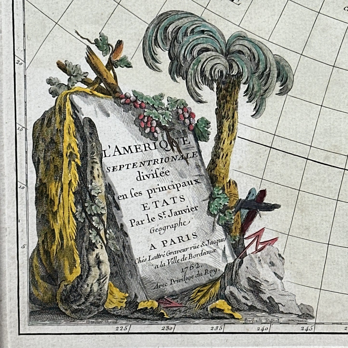
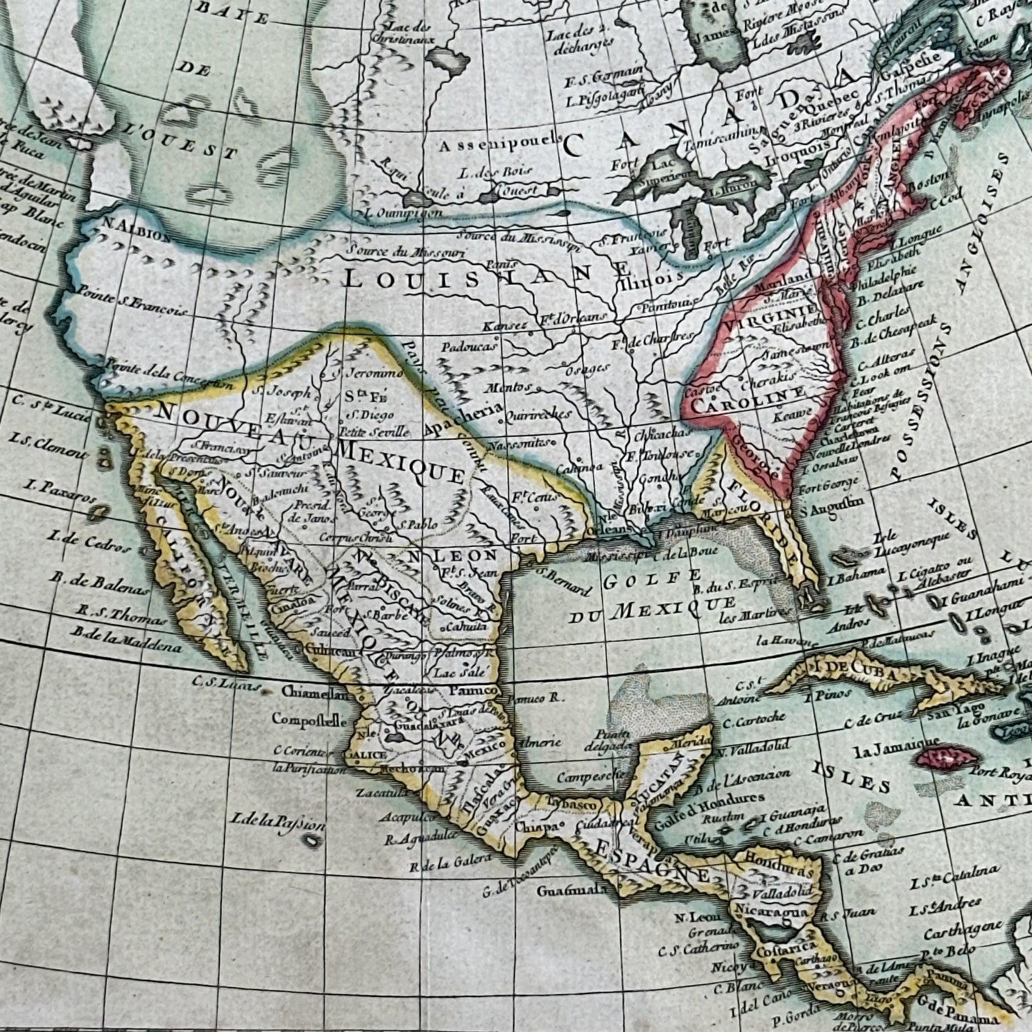
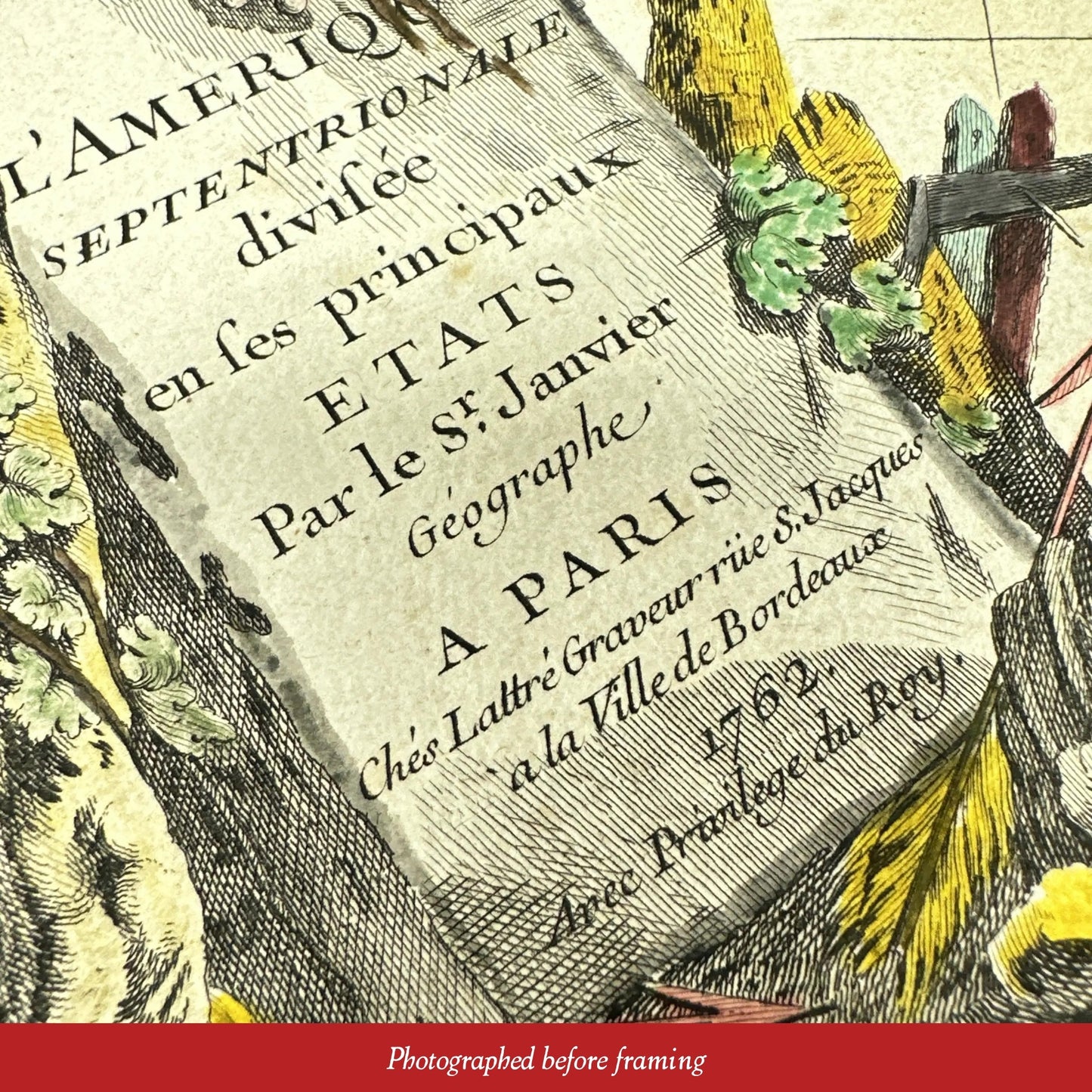
Our original designs are based on our nation’s history and our love of American history. Read more about other things we've created, including The History List, History Camp, and The Pursuit of History, in addition to The History List Store.
Every product that is made in America states that in the product description and includes the "Made in U.S.A." graphic.