1941 New War Map — 3 Maps in One: The Atlantic Ocean, The Pacific, World on Mercator Projection
1941 New War Map — 3 Maps in One: The Atlantic Ocean, The Pacific, World on Mercator Projection
Updated August 3: This has been sold.
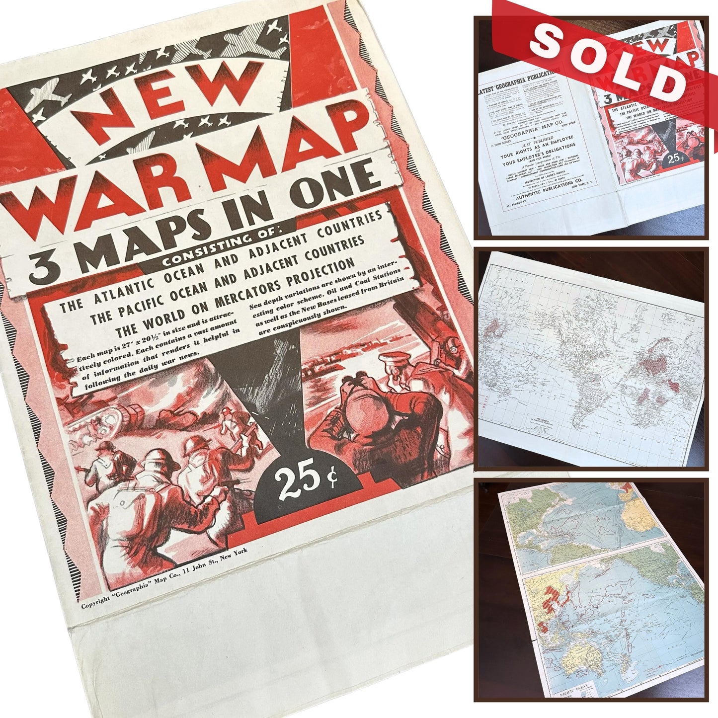
New War Map - 3 Maps in One. The Atlantic Ocean... The Pacific... World on Mercator Projection, 1941.
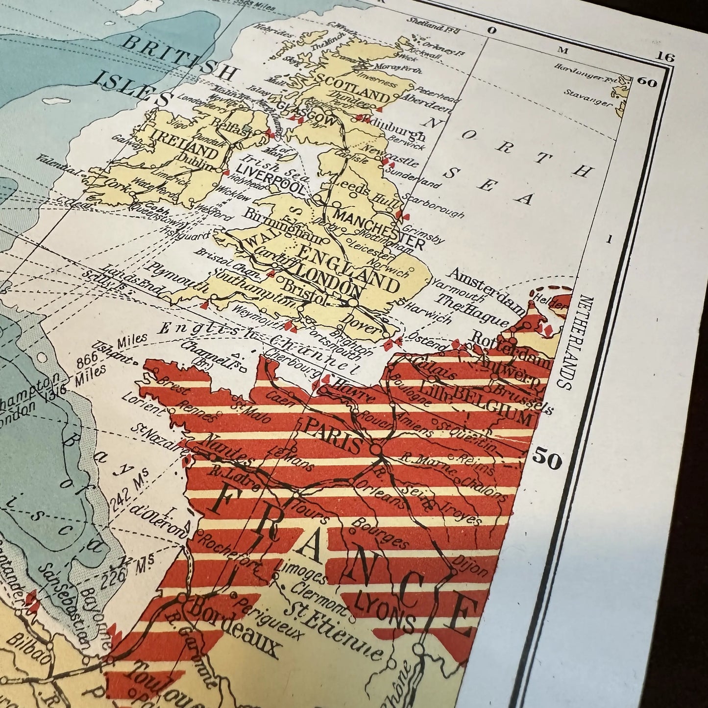
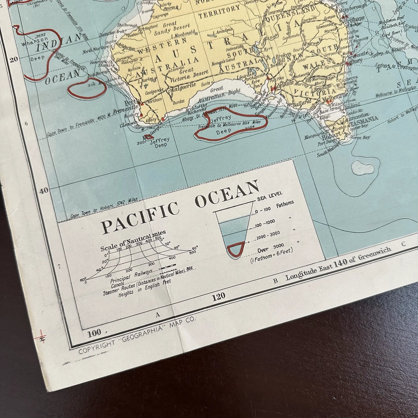
A map showcasing the geopolitical landscape early in World War II, published by Geographia around 1941. This first printing highlights the strategic positions and occupied territories during the conflict.
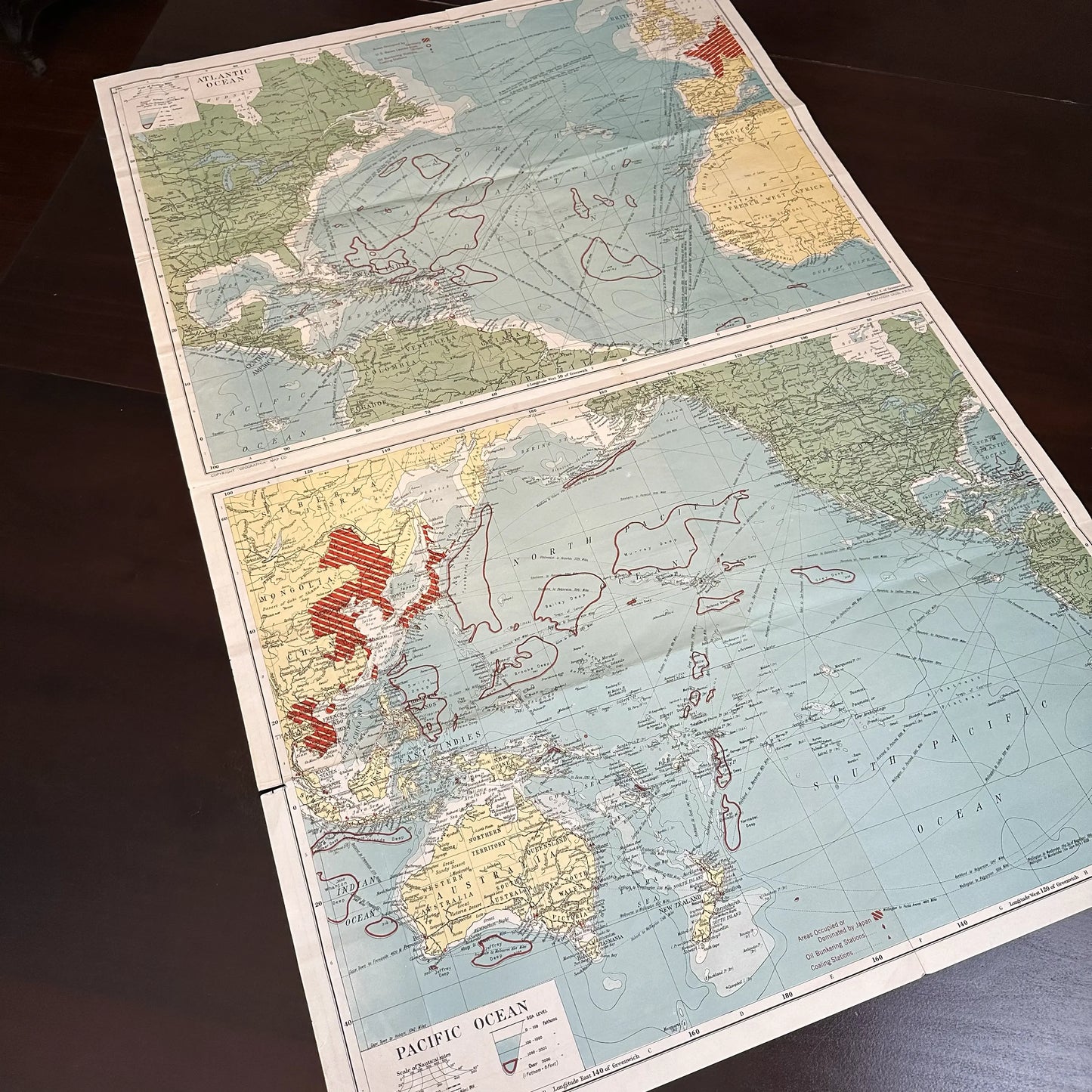
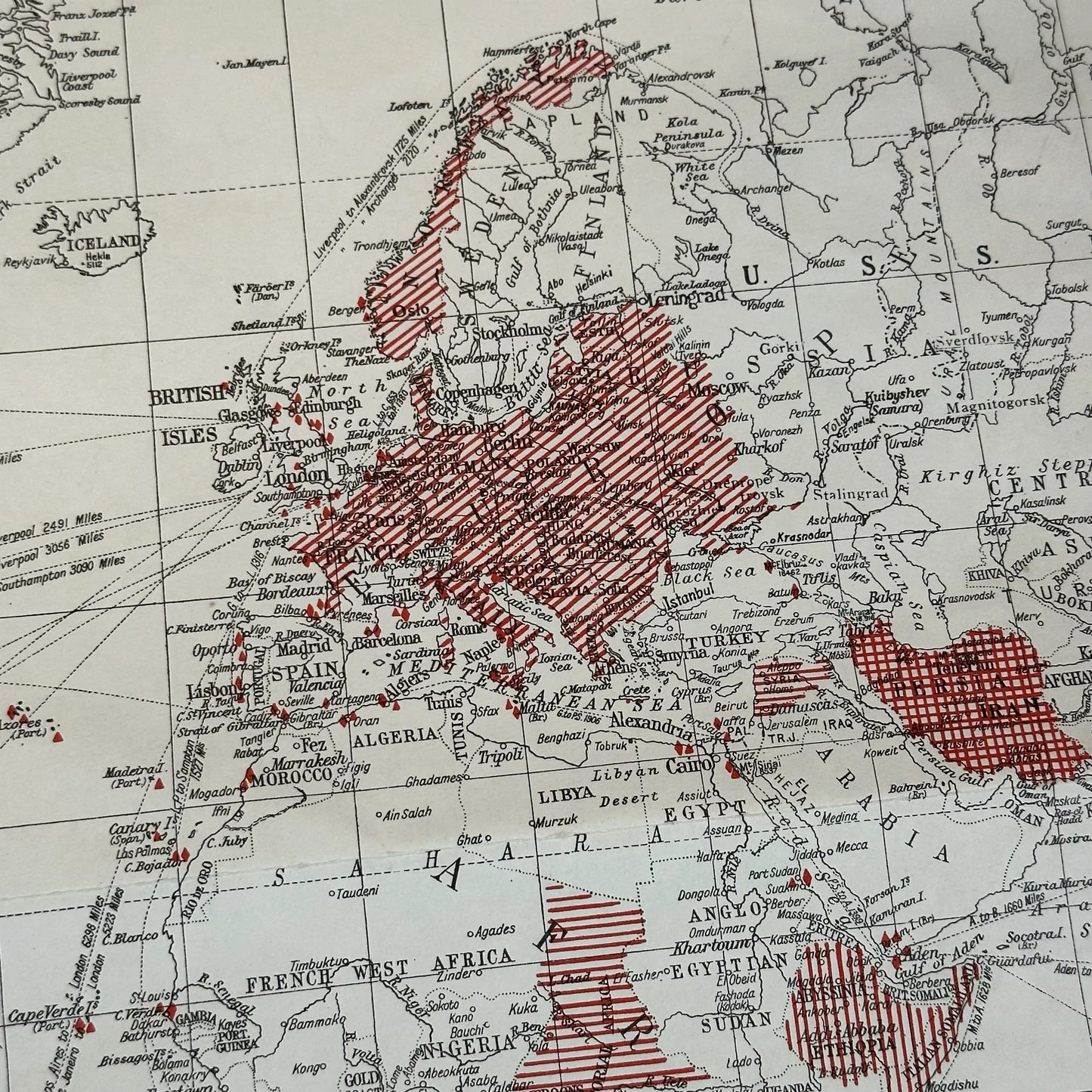
A war map published early on in the conflict - the Japanese occupied area includes Northern China, Taiwan & Indo China, but Singapore is still free.
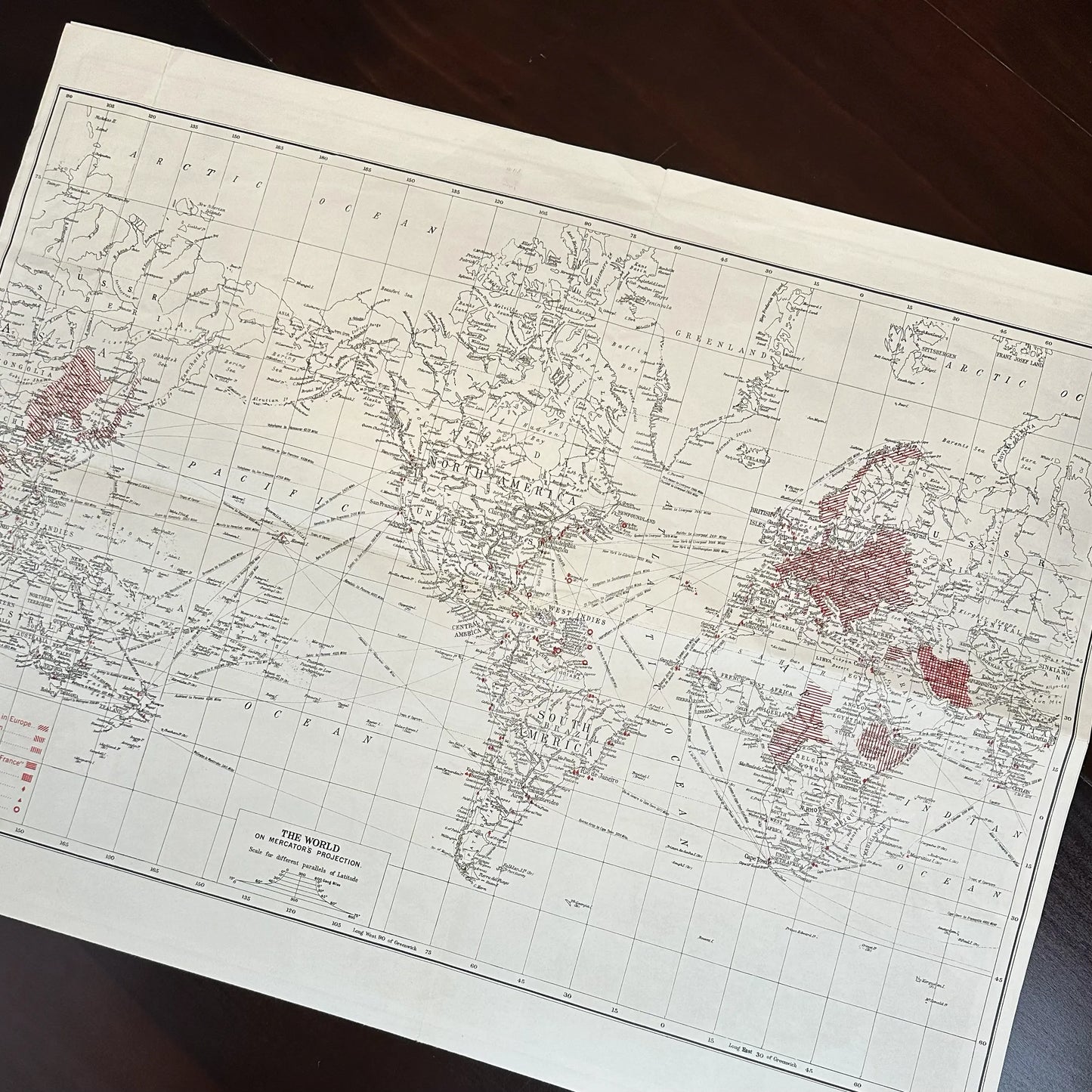
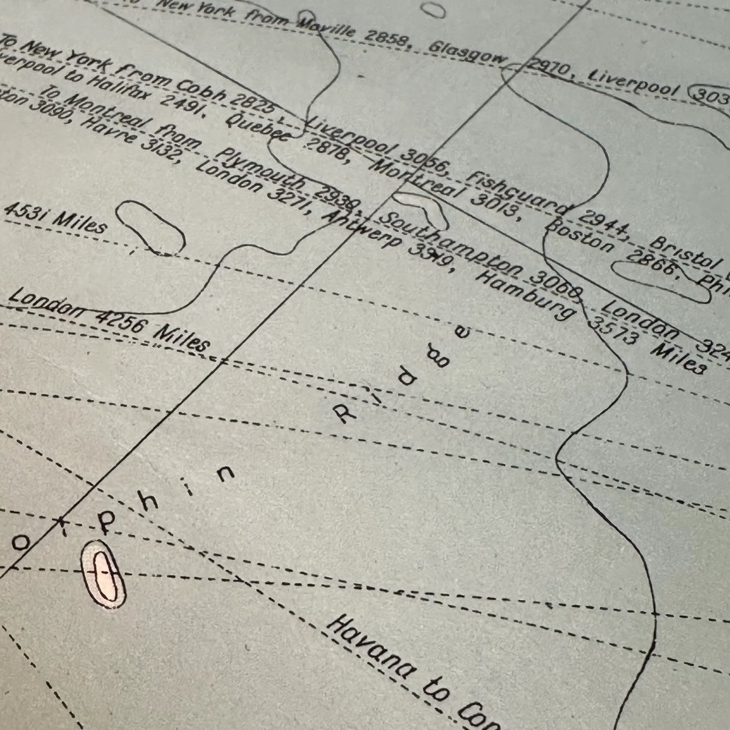
All occupied territories in each arena are denoted in red. Oil bunkering stations, coaling stations and the US bases leased from Britain are also marked in red. An unusual notation delineates all the "deep" parts of the respective oceans.
The cover announces "contains a vast amount of information that renders it helpful in following the daily war news."
The map includes:
- The Atlantic Ocean: Detailed color map highlighting strategic points and occupied territories.
- The Pacific Ocean: Color map showing key naval and military locations.
-
World on Mercator Projection: Black and white map providing a global view with occupied regions marked in red.
Size:
- Unfolded: 27" x 41"
- Folded: 10.375" x 13 .375"
Shipping: $5.95. Please allow two weeks for shipping.
Made by America
Made by America
Almost all of the new products we offer are designed by us and made in America and most of our Rare Finds were made in America.
Our original designs are based on our nation’s history and our love of American history. Read more about other things we've created, including The History List, History Camp, and The Pursuit of History, in addition to The History List Store.
Every product that is made in America states that in the product description and includes the "Made in U.S.A." graphic.
