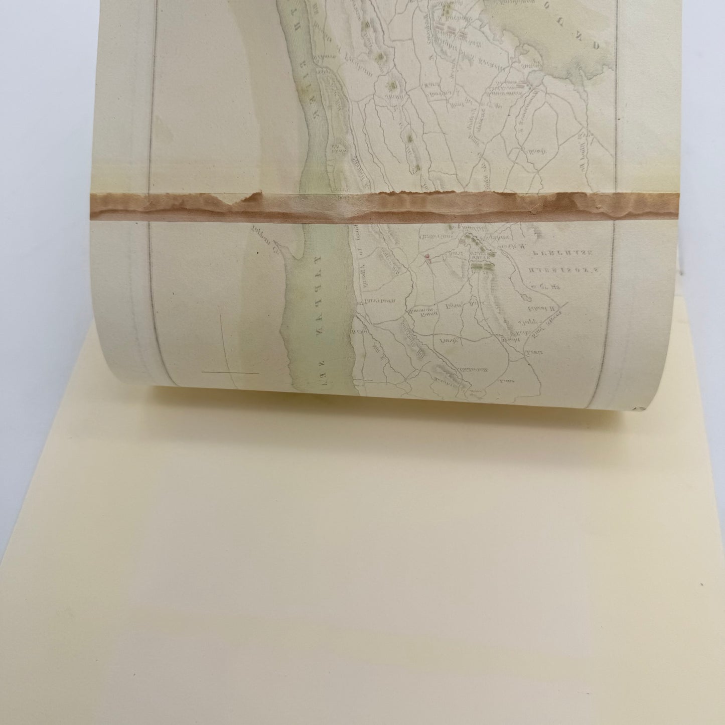
Battle of White Plains map — Hand colored — 1834
Battle of White Plains map — Hand colored — 1834
Updated March 1: This has been sold.
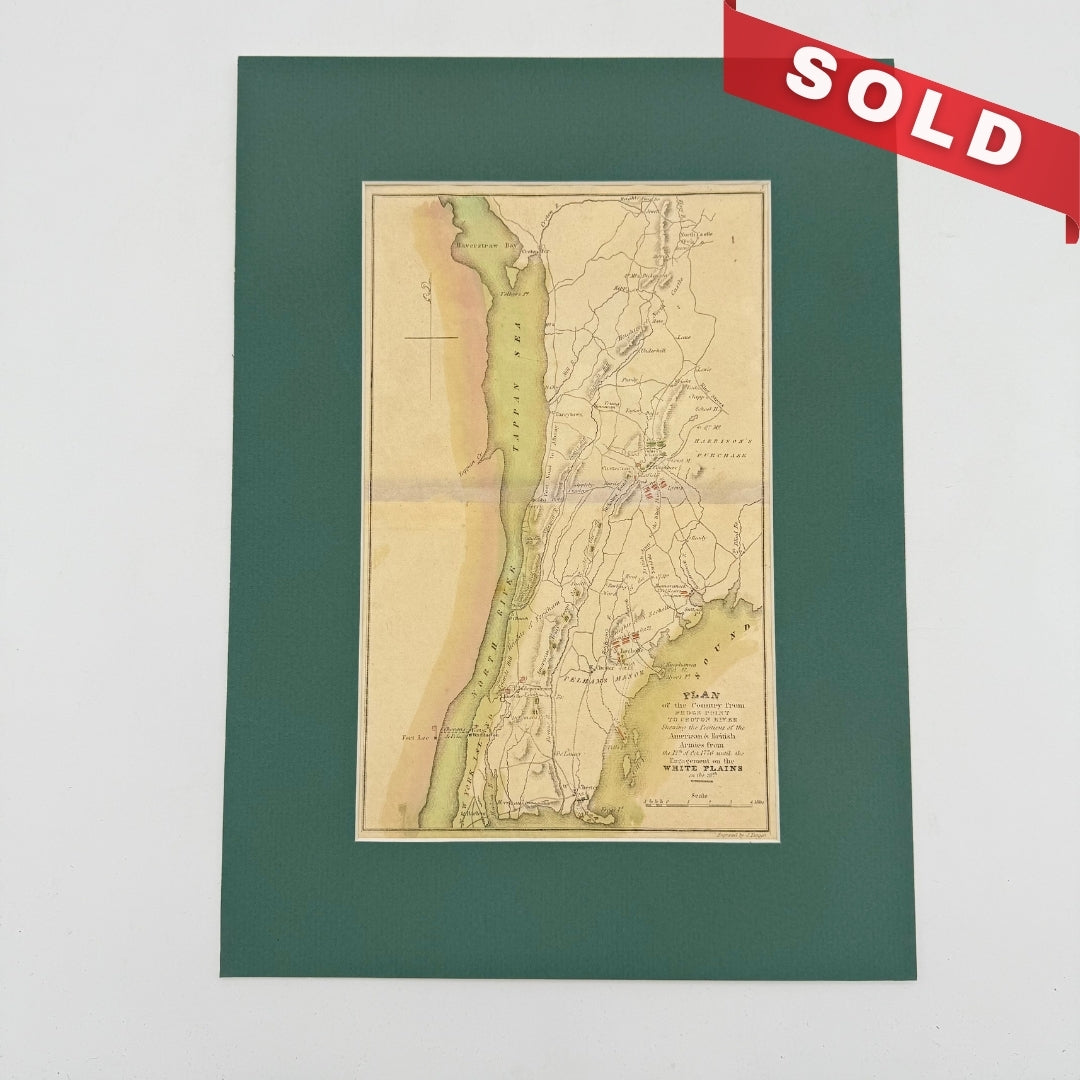
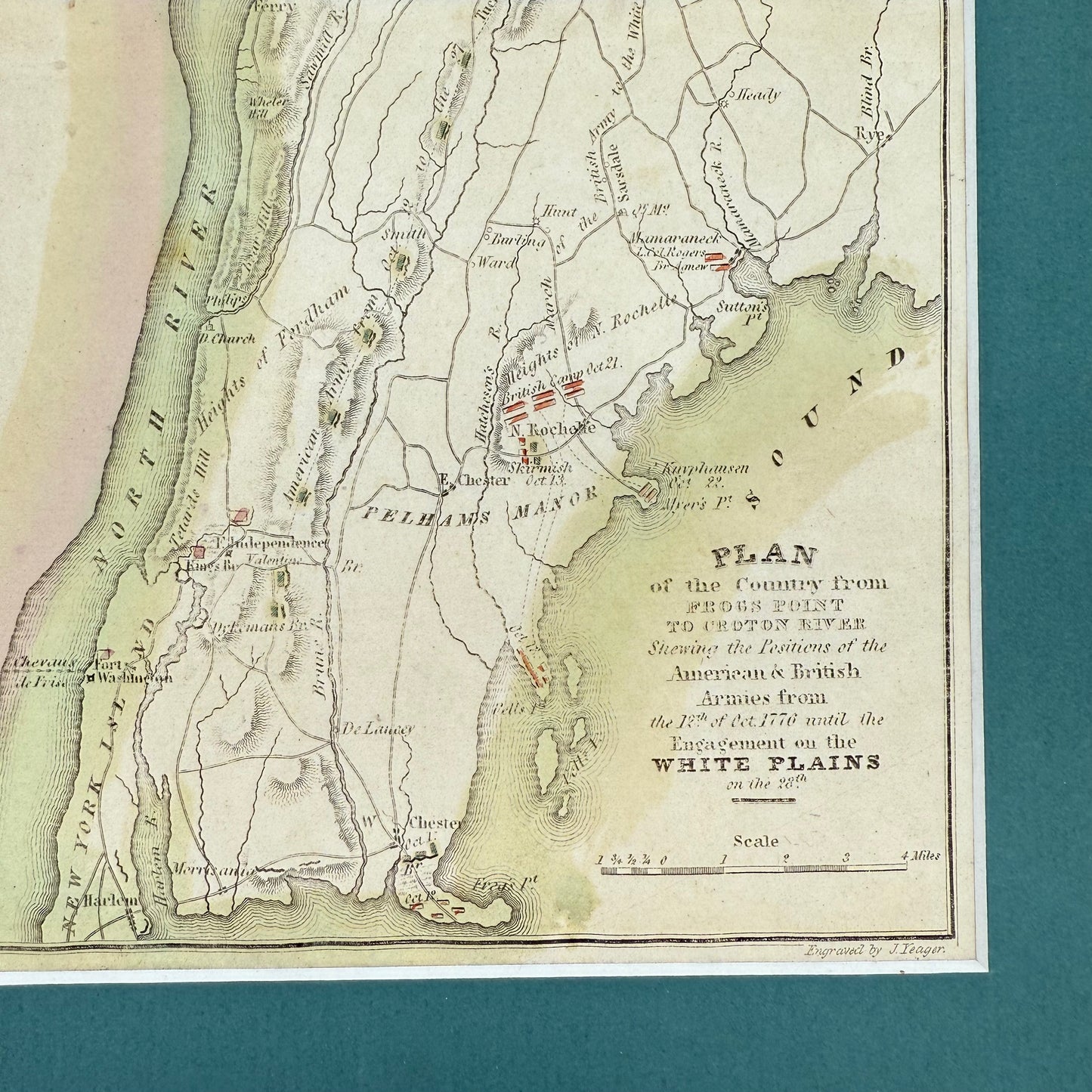
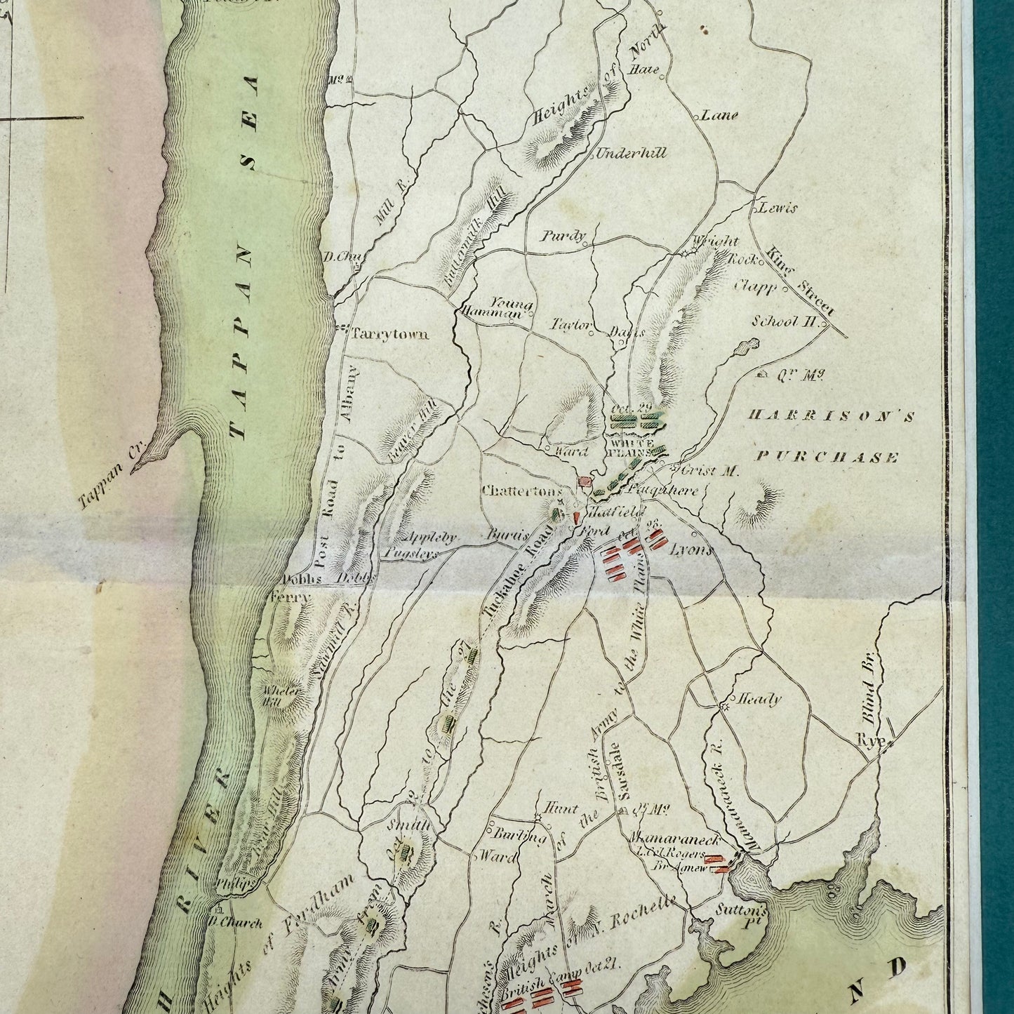
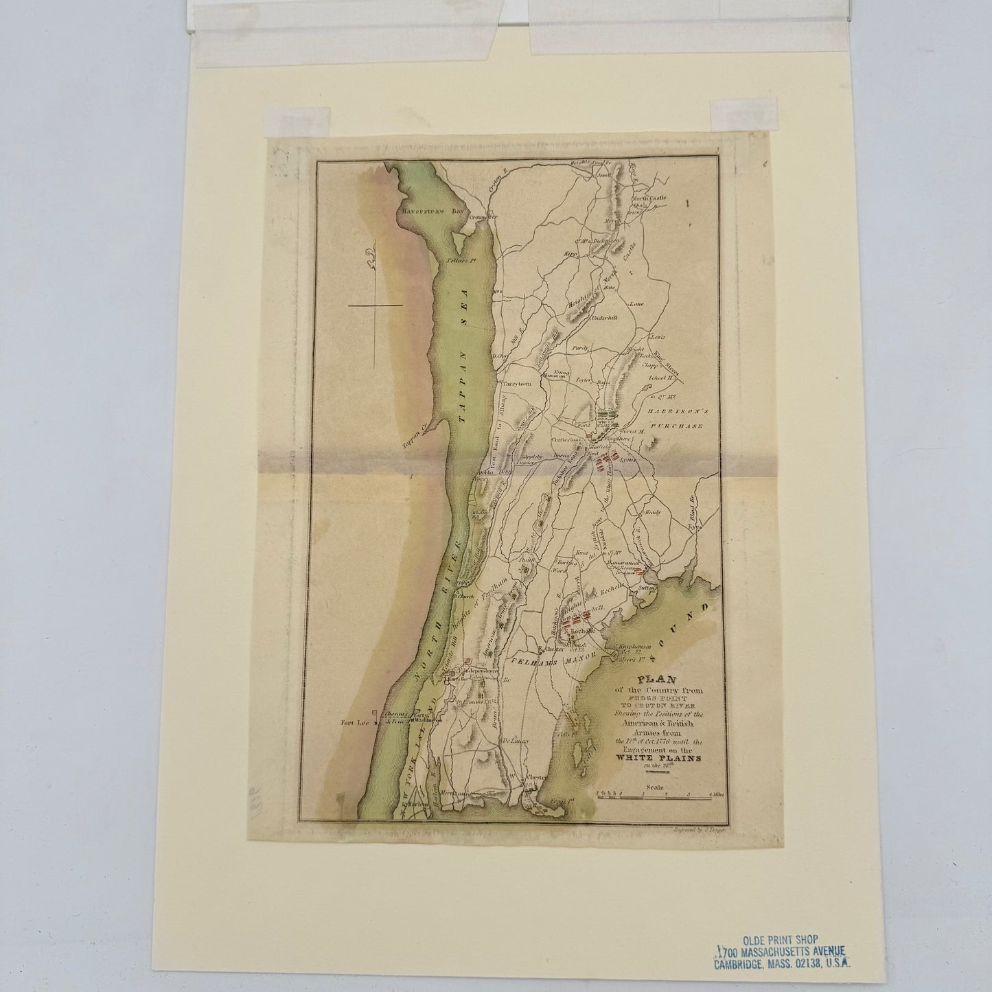
Full title: A plan of the country from Frogs Point to Croton River : shewing the positions of the American and British armies from the 12th of October 1776 until the engagement on the White Plains on the 28th.
Engraved by J. Yeager. From John Marshall's Atlas to the Life of Washington, published in Philadelphia, 1834. Hand-colored.
Matted; unframed.
Size of print: 7.5" x 10"
Size of mat: 10" x 14"
Shipping: $15. Please allow one week for shipping.
About the Battle of White Plains
From Wikipedia:
"The Battle of White Plains took place during the New York and New Jersey campaign of the American Revolutionary War on October 28, 1776, near White Plains, New York. Following the retreat of George Washington's Continental Army northward from New York City, British General William Howe landed troops in Westchester County, intending to cut off Washington's escape route. Alerted to this move, Washington retreated farther, establishing a position in the village of White Plains but failing to establish firm control over local high ground. Howe's troops drove Washington's troops from a hill near the village; following this loss, Washington ordered the Americans to retreat farther north.
"Later British movements chased Washington across New Jersey and into Pennsylvania. Washington then crossed the Delaware and surprised a brigade of Hessian troops in the December 26 Battle of Trenton."
Made by America
Made by America
Almost all of the new products we offer are designed by us and made in America and most of our Rare Finds were made in America.
Our original designs are based on our nation’s history and our love of American history. Read more about other things we've created, including The History List, History Camp, and The Pursuit of History, in addition to The History List Store.
Every product that is made in America states that in the product description and includes the "Made in U.S.A." graphic.
