On the cover:
Folder A [Editor: This is the folder offered here.]
For official use only!
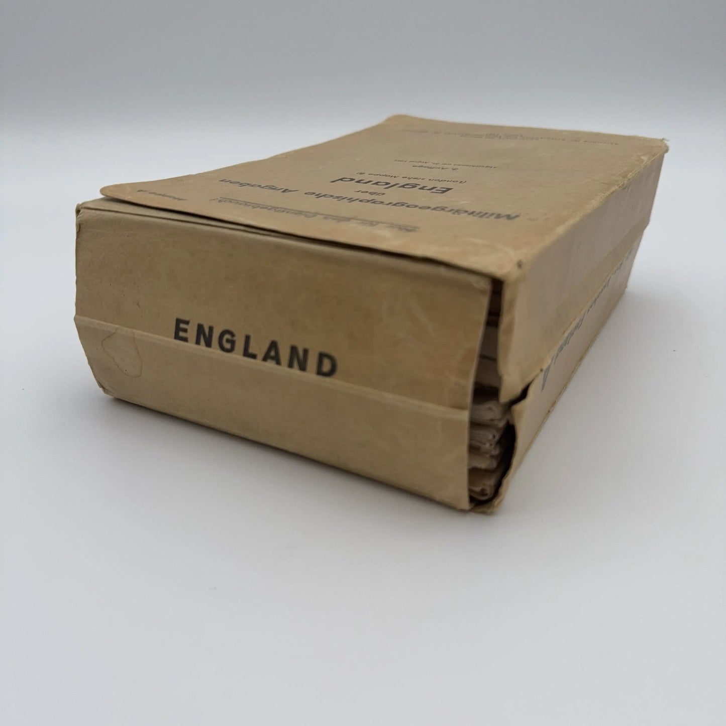
Military-geographic information on England
For London, see Folder B
3rd edition
Completed on 31 August 1941
General Staff of the Army
Department for War Maps and Surveying, IV Military Geography
Berlin, 1941
Contents:
- Eight maps, including maps of waterways and canals
- Two guidebooks, one illustrated with aerial photographs
- One guidebook with maps and town details, including population information
- Two booklets with town through-plans and related geographic details
- Original card case
- Two additional guidebooks titled Militärgeographische Angaben über England, Mappe C: Südküste
- Material illustrated with aerial photographs, postcards, maps, and related reference information
Translation of text from the Folder's jacket:
Contents:
(Changes from the 1st or 2nd edition are noted in brackets)
- Text booklet
- Gazetteer / directory of localities
(formerly in the text booklet, now printed as a separate booklet; newly revised and expanded)
- Picture booklet: England as a whole
(typical landscape views)
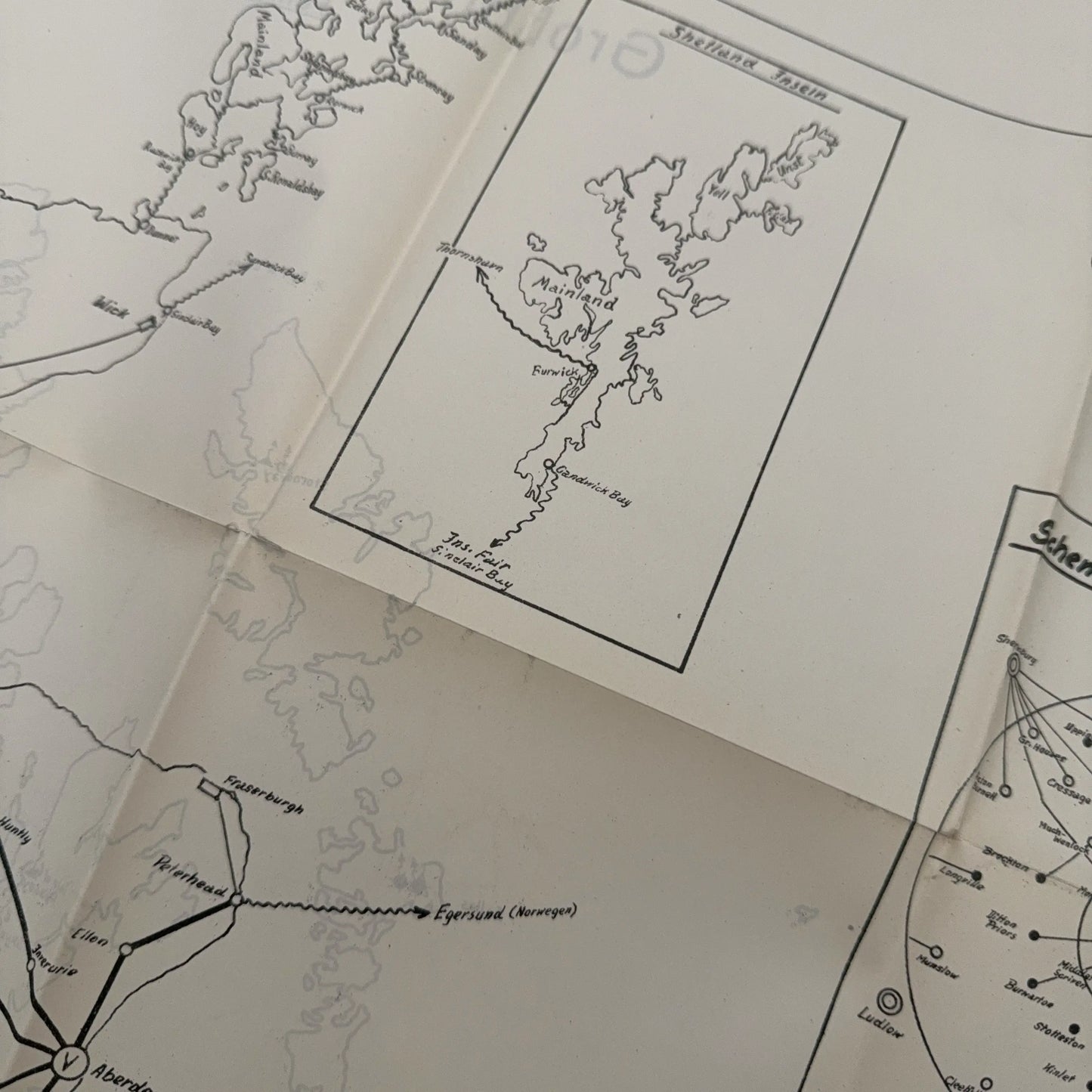
- General map of Great Britain and Ireland, 1:1,000,000, with sheet index for the special map 1:100,000
(new physical overview map)
- Military-geographic operations map of England, 1:500,000, southern sheet
(Southern and Central England)
- Map: Great Britain and Ireland, railway network, 1:1,000,000, with station directory on the reverse of the map, serving at the same time as a locality index map
(newly revised using documents from Chief Tromp)
- Booklet: Station directory for no. 6
- Map: Great Britain, long-distance roads, 1:1,000,000
- Map: Great Britain, overview of bodies of water, 1:1,000,000
- Map: Great Britain, long-distance telephone and telegraph network, 1:1,000,000
(telephone network on front; radio stations on reverse)
- Map: Electricity supply of England and Scotland, 1:1,000,000, with directory of major works and their capacity
- Map: England, population distribution, 1:1,000,000
- Booklet: City passage / through-route plans
(improved and expanded)
Also published:
Folder B
Military-geographic information on England, London
(text with pictures, traffic plan 1:50,000, and city plan 1:20,000, 4 sheets, with military-geographic object entries)
Folder C
Coastal descriptions
(text and picture booklets with map appendices)
South coast, with 1st and 2nd supplements, completed 15 Aug. 1940
South coast, 3rd supplement, aerial photographs, completed 20 May 1941
East coast, southern part, completed 30 Aug. 1940
East coast, northern part, completed 15 Oct. 1940
West coast, southern part, completed 27 Dec. 1940
West coast, northern part, completed 28 Feb. 1941
Furthermore:
Military-geographic object maps, 1:250,000, of England, 11 sheets, and related plans of the most important urban areas with military-geographic individual entries at a scale of 1:10,000. Completed February 1941.
In preparation:
New edition of the military-geographic object maps, 1:250,000, of England, 11 folders, in which one large sheet is included. The object map 1:250,000 and the associated plans of the most important urban areas with military-geographic individual entries at a scale of 1:10,000 are combined in each large sheet. Each folder includes a booklet, “Object pictures,” with images of individual objects marked on the large sheets or city plans.
Issued as completed by 30 September 1941.